
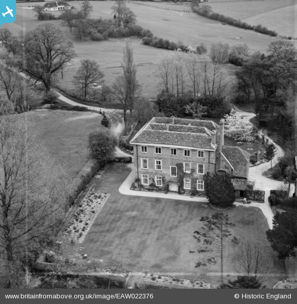
EAW022376 ENGLAND (1949). Hammonds End House, Redbourn, 1949. This image was marked by Aerofilms Ltd for photo editing.
© Copyright OpenStreetMap contributors and licensed by the OpenStreetMap Foundation. 2024. Cartography is licensed as CC BY-SA.
Nearby Images (5)
EAW022376

EAW022377

EAW022380

EAW022379

EAW022378

Details
| Title | [EAW022376] Hammonds End House, Redbourn, 1949. This image was marked by Aerofilms Ltd for photo editing. |
| Reference | EAW022376 |
| Date | 19-April-1949 |
| Link | |
| Place name | REDBOURN |
| Parish | HARPENDEN RURAL |
| District | |
| Country | ENGLAND |
| Easting / Northing | 512372, 212250 |
| Longitude / Latitude | -0.37027744566508, 51.797145044596 |
| National Grid Reference | TL124123 |
Pins
Be the first to add a comment to this image!