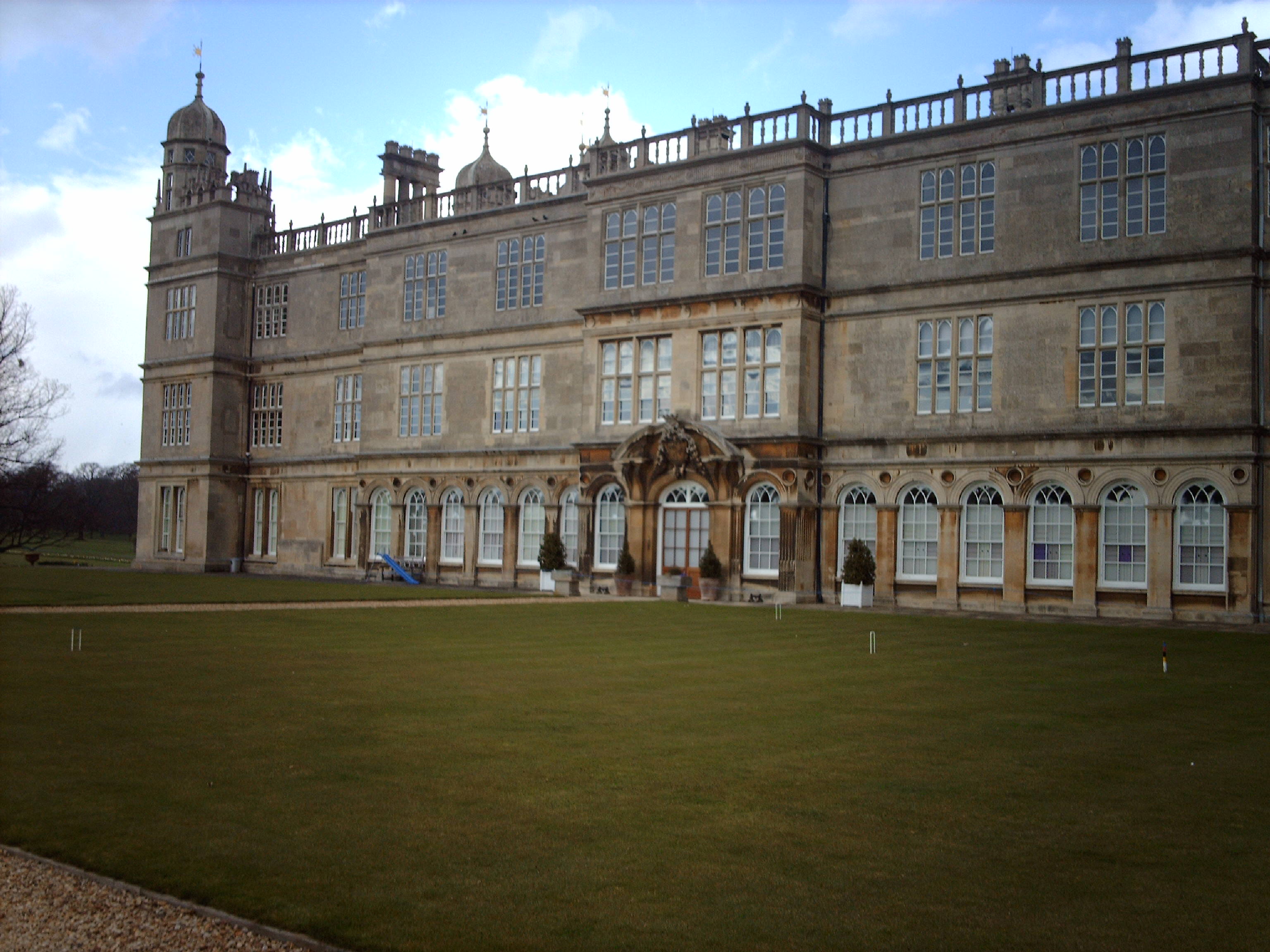
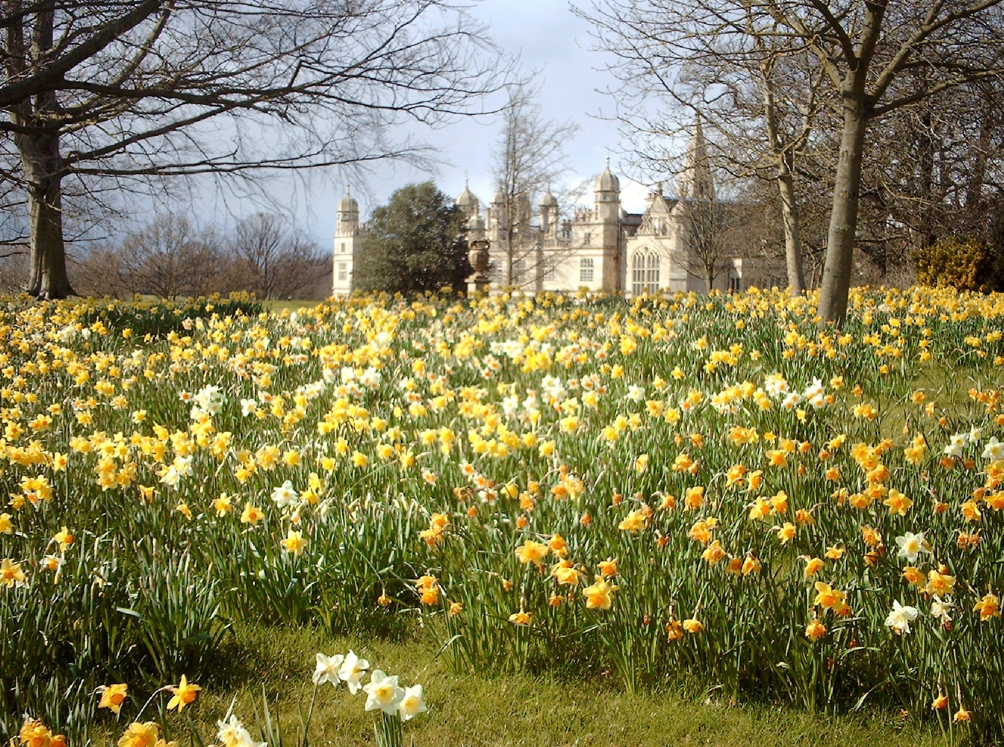
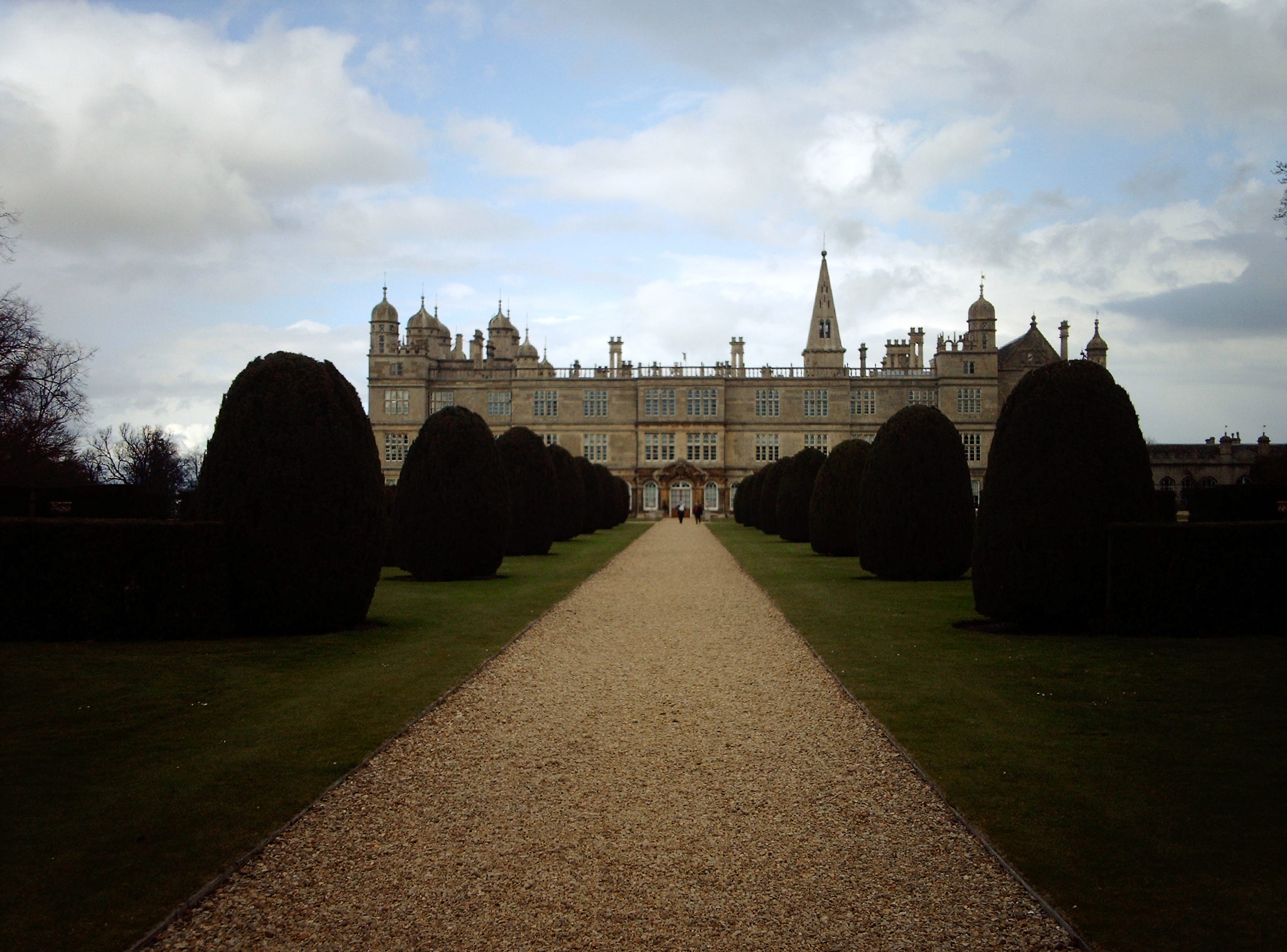
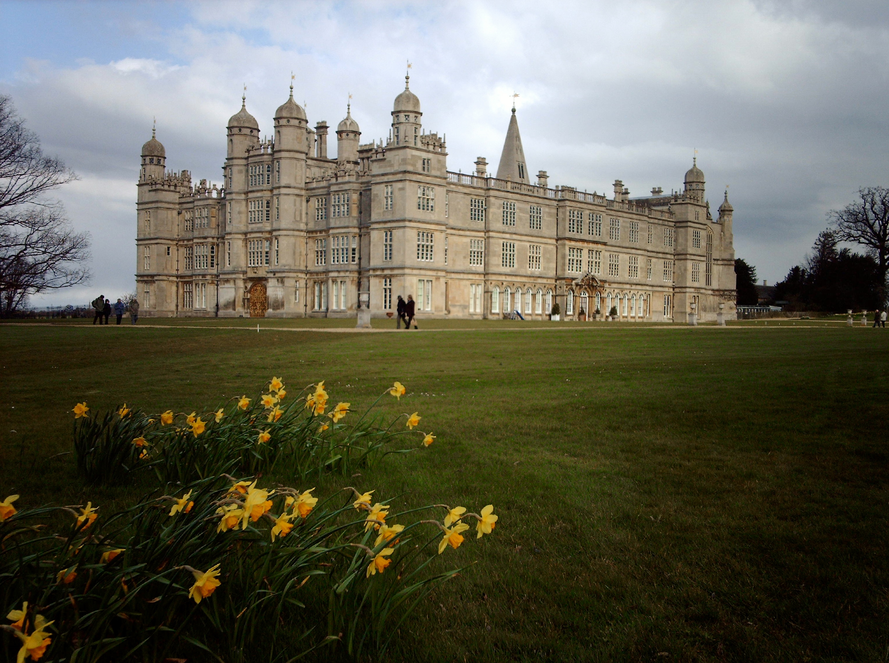
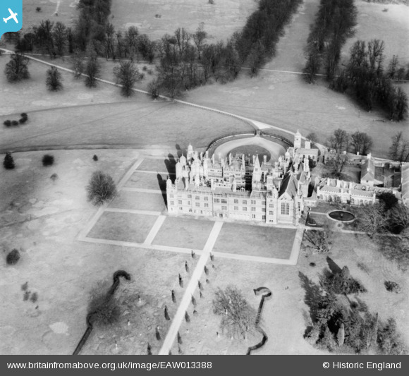
eaw013388 ENGLAND (1948). Burghley House and Queen Elizabeth's Tree, Burghley Park, 1948
© Copyright OpenStreetMap contributors and licensed by the OpenStreetMap Foundation. 2024. Cartography is licensed as CC BY-SA.
Nearby Images (6)
EAW013388

EAW013389

EAW013387

EAW013386

EAW013390

EPW050310

Details
| Title | [EAW013388] Burghley House and Queen Elizabeth's Tree, Burghley Park, 1948 |
| Reference | EAW013388 |
| Date | 18-February-1948 |
| Link | |
| Place name | BURGHLEY PARK |
| Parish | ST. MARTIN'S WITHOUT |
| District | |
| Country | ENGLAND |
| Easting / Northing | 504788, 306091 |
| Longitude / Latitude | -0.45114996749696, 52.642077355827 |
| National Grid Reference | TF048061 |
Pins
Be the first to add a comment to this image!