
Scheduled Maintenance
This website will undergo scheduled maintenance on Tuesday, September 10th, between 11:00 and 15:00, as well as on Thursday, September 12th, between 10:00 and 12:00. During this time, services may be temporarily disrupted. We apologise for any inconvenience.
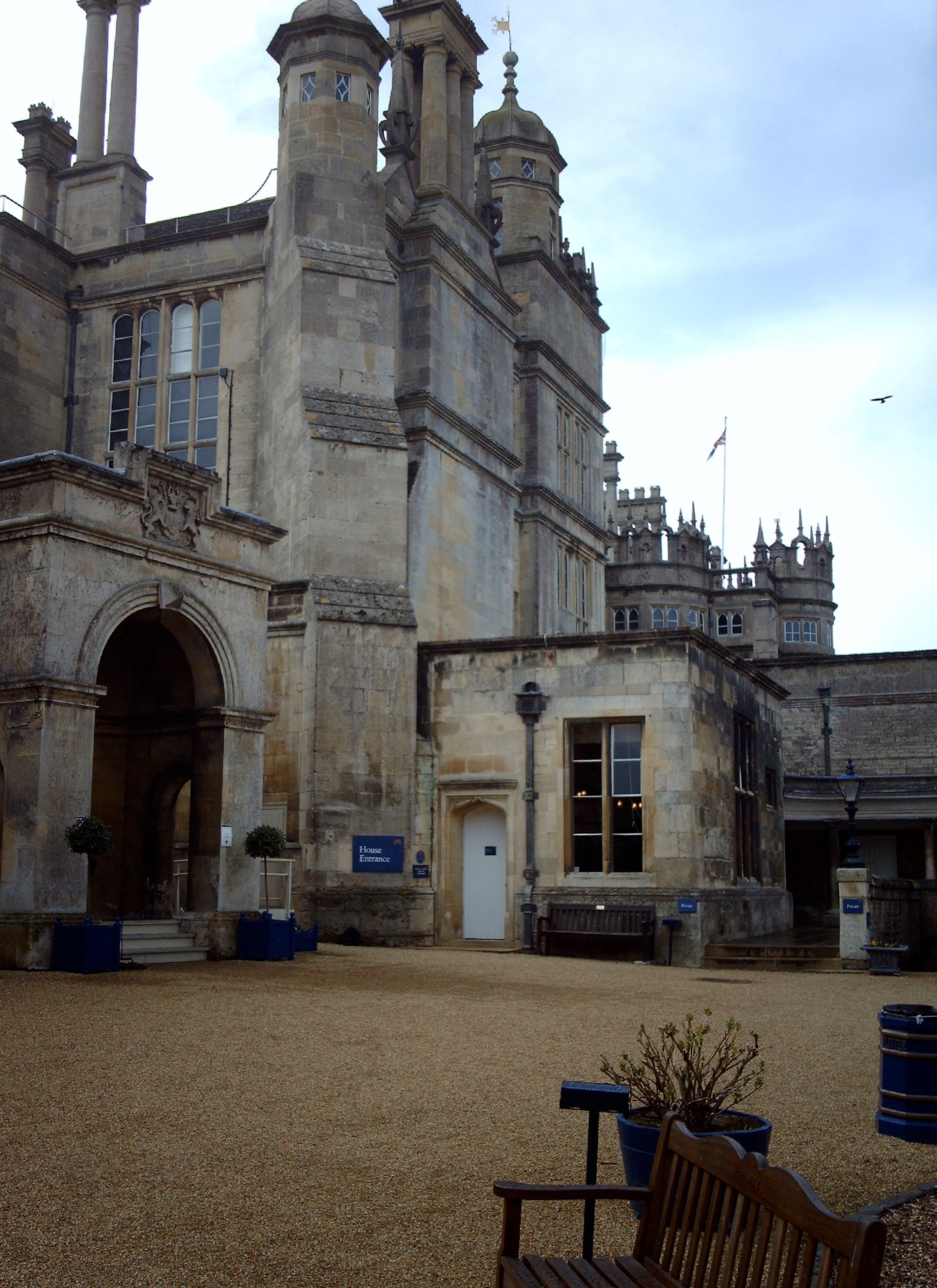
EAW013389 ENGLAND (1948). Burghley House, Burghley Park, 1948

© Copyright OpenStreetMap contributors and licensed by the OpenStreetMap Foundation. 2024. Cartography is licensed as CC BY-SA.
Nearby Images (6)
EAW013389

EAW013388

EAW013387

EAW013390

EAW013386

EPW050310

Details
| Title | [EAW013389] Burghley House, Burghley Park, 1948 |
| Reference | EAW013389 |
| Date | 18-February-1948 |
| Link | |
| Place name | BURGHLEY PARK |
| Parish | ST. MARTIN'S WITHOUT |
| District | |
| Country | ENGLAND |
| Easting / Northing | 504813, 306088 |
| Longitude / Latitude | -0.45078154747584, 52.64204556379 |
| National Grid Reference | TF048061 |
Pins
Be the first to add a comment to this image!
User Comment Contributions
 Burghley House 05/04/2008 |
 Class31 |
Tuesday 5th of November 2013 09:16:53 PM |