
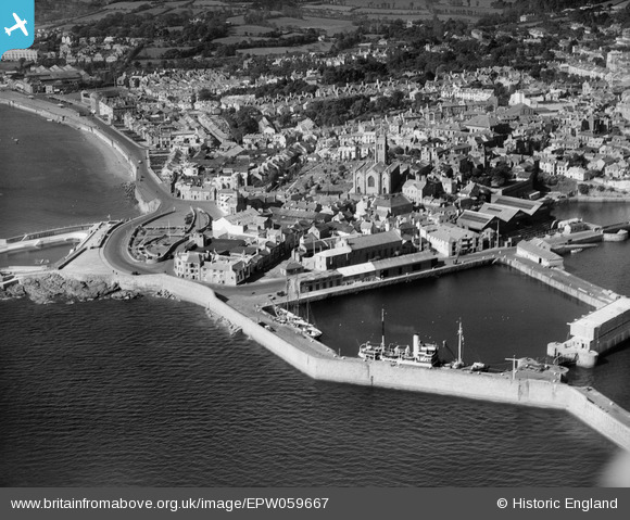
EPW059667 ENGLAND (1938). South Pier, the Dock and the town, Penzance, 1938
© Copyright OpenStreetMap contributors and licensed by the OpenStreetMap Foundation. 2025. Cartography is licensed as CC BY-SA.
Nearby Images (5)
EPW059667

EAW033635

EAW033636

EAW033634

EPW039841

Details
| Title | [EPW059667] South Pier, the Dock and the town, Penzance, 1938 |
| Reference | EPW059667 |
| Date | 24-October-1938 |
| Link | |
| Place name | PENZANCE |
| Parish | PENZANCE |
| District | |
| Country | ENGLAND |
| Easting / Northing | 147651, 30006 |
| Longitude / Latitude | -5.5303456676726, 50.115775783419 |
| National Grid Reference | SW477300 |
Pins
 Ritchiet |
Tuesday 19th of October 2021 08:59:59 PM | |
Weenieb |
Friday 4th of July 2014 03:34:26 PM | |
Weenieb |
Friday 4th of July 2014 03:31:00 PM | |
Weenieb |
Friday 4th of July 2014 03:30:36 PM | |
longshot |
Thursday 20th of June 2013 08:14:44 PM |
User Comment Contributions
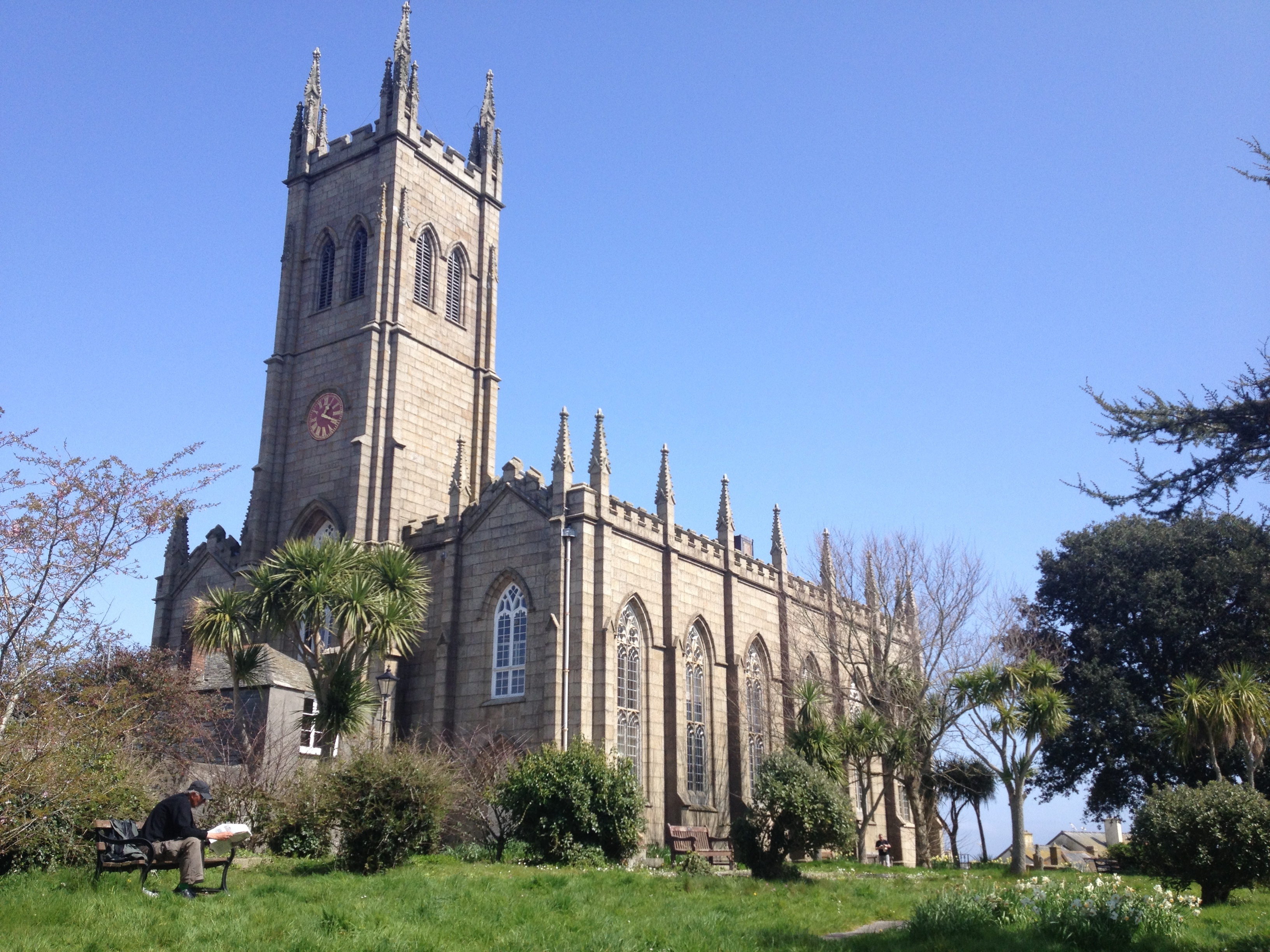 St. Mary's Church, Penzance, 15/04/2015 |
 Class31 |
Wednesday 29th of April 2015 11:59:47 AM |