
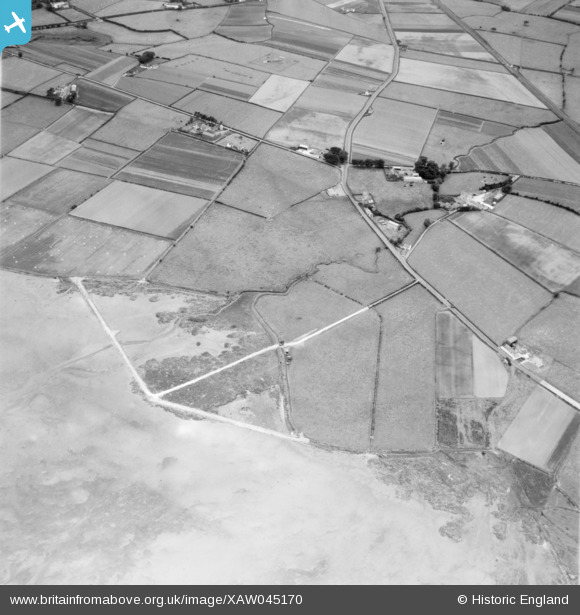
XAW045170 NORTHERN IRELAND (1952). J. Graham Site at Newtonards, N. Ireland, Newtonards, Ards, Northern Ireland, 1952. Oblique aerial photograph taken facing South/West.
© Copyright OpenStreetMap contributors and licensed by the OpenStreetMap Foundation. 2024. Cartography is licensed as CC BY-SA.
Nearby Images (7)
XAW045170

XAW045175

XAW045172

XAW045169

XAW045168

XAW045174

XAW045180

Details
| Title | [XAW045170] J. Graham Site at Newtonards, N. Ireland, Newtonards, Ards, Northern Ireland, 1952. Oblique aerial photograph taken facing South/West. |
| Reference | XAW045170 |
| Date | 15-July-1952 |
| Link | |
| Place name | NEWTONARDS |
| Parish | NORTHERN IRELAND |
| District | |
| Country | NORTHERN IRELAND |
| Easting / Northing | 161022, 524905 |
| Longitude / Latitude | -5.698022, 54.562773 |
| National Grid Reference |
Pins
 Richard Craig |
Friday 4th of October 2019 12:21:01 PM | |
Buzby |
Wednesday 3rd of December 2014 07:30:34 AM |


