
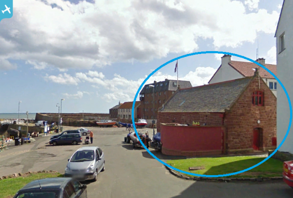
SPW027381 SCOTLAND (1929). Victoria Harbour and Dunbar Castle, Dunbar. An oblique aerial photograph taken facing south.

© Copyright OpenStreetMap contributors and licensed by the OpenStreetMap Foundation. 2025. Cartography is licensed as CC BY-SA.
Nearby Images (2)
SPW027381

SPW027380

Details
| Title | [SPW027381] Victoria Harbour and Dunbar Castle, Dunbar. An oblique aerial photograph taken facing south. |
| Reference | SPW027381 |
| Date | 1929 |
| Link | Canmore Collection item 1256872 |
| Place name | |
| Parish | MARITIME - EAST LOTHIAN |
| District | MARITIME |
| Country | SCOTLAND |
| Easting / Northing | 367860, 679360 |
| Longitude / Latitude | -2.5154642847865, 56.006148611129 |
| National Grid Reference | NT679794 |
Pins
 Billy Turner |
Wednesday 18th of November 2015 08:52:45 PM | |
Billy Turner |
Wednesday 18th of November 2015 08:45:19 PM | |
Billy Turner |
Wednesday 18th of November 2015 08:34:30 PM | |
Robert Tims |
Friday 1st of November 2013 01:37:12 PM | |
 BfA events |
Sunday 12th of May 2013 10:39:49 AM | |
 Brian Wilkinson |
Friday 22nd of June 2012 12:49:23 PM |


User Comment Contributions
 Dunbar Castle, guarding the harbour. |
Brian Wilkinson |
Friday 22nd of June 2012 12:49:53 PM |