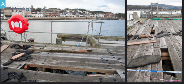
SAW039367 SCOTLAND (1951). Great Cumbrae Island, general view, showing Millport. An oblique aerial photograph taken facing north. This image has been produced from a print.

© Copyright OpenStreetMap contributors and licensed by the OpenStreetMap Foundation. 2024. Cartography is licensed as CC BY-SA.
Nearby Images (5)
SAW039367

SAR018809

SAR018810

SAR018811

SAR031666

Details
| Title | [SAW039367] Great Cumbrae Island, general view, showing Millport. An oblique aerial photograph taken facing north. This image has been produced from a print. |
| Reference | SAW039367 |
| Date | 1951 |
| Link | Canmore Collection item 1315286 |
| Place name | |
| Parish | CUMBRAE |
| District | CUNNINGHAME |
| Country | SCOTLAND |
| Easting / Northing | 216198, 655130 |
| Longitude / Latitude | -4.9292854083588, 55.754583552903 |
| National Grid Reference | NS162551 |
Pins
 Billy Turner |
Tuesday 1st of September 2015 05:23:34 PM | |
Billy Turner |
Tuesday 1st of September 2015 05:18:42 PM | |
Billy Turner |
Tuesday 1st of September 2015 04:57:59 PM | |
 |
Billy Turner |
Tuesday 1st of September 2015 04:27:41 PM |
Billy Turner |
Tuesday 1st of September 2015 03:59:29 PM | |
Billy Turner |
Tuesday 1st of September 2015 03:48:17 PM | |
Billy Turner |
Tuesday 1st of September 2015 03:36:54 PM |