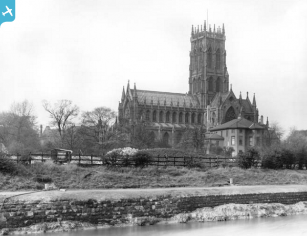
EPW061930 ENGLAND (1939). The town centre, Doncaster, 1939

© Copyright OpenStreetMap contributors and licensed by the OpenStreetMap Foundation. 2024. Cartography is licensed as CC BY-SA.
Nearby Images (10)
EPW061930

EPW012777

EPW061931

EPW012774

EPW061936

EPW012756

EPW012773

EPW012775

EPW061935

EPW012759

Details
| Title | [EPW061930] The town centre, Doncaster, 1939 |
| Reference | EPW061930 |
| Date | 6-June-1939 |
| Link | |
| Place name | DONCASTER |
| Parish | |
| District | |
| Country | ENGLAND |
| Easting / Northing | 457321, 403196 |
| Longitude / Latitude | -1.1353118714792, 53.522055664182 |
| National Grid Reference | SE573032 |
Pins
 Billy Turner |
Thursday 26th of November 2015 06:53:31 PM | |
 Brightonboy |
Tuesday 3rd of February 2015 08:41:09 PM | |
John Wass |
Monday 6th of October 2014 02:58:13 PM | |
John Wass |
Monday 6th of October 2014 02:55:33 PM | |
John Wass |
Monday 6th of October 2014 02:54:49 PM | |
John Wass |
Monday 6th of October 2014 02:51:19 PM | |
John Wass |
Monday 6th of October 2014 02:48:57 PM | |
John Wass |
Tuesday 24th of June 2014 08:40:40 PM | |
John Wass |
Tuesday 24th of June 2014 08:40:06 PM | |
 spugs |
Sunday 22nd of June 2014 04:24:11 PM |