
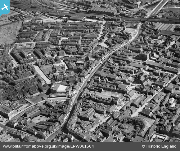
EPW061504 ENGLAND (1939). Kirkgate and environs, Wakefield, 1939
© Copyright OpenStreetMap contributors and licensed by the OpenStreetMap Foundation. 2024. Cartography is licensed as CC BY-SA.
Nearby Images (6)
EPW061504

EAW025173

EAW025174

EAW015512

EPW061508

EAW015510

Details
| Title | [EPW061504] Kirkgate and environs, Wakefield, 1939 |
| Reference | EPW061504 |
| Date | 2-June-1939 |
| Link | |
| Place name | WAKEFIELD |
| Parish | |
| District | |
| Country | ENGLAND |
| Easting / Northing | 433583, 420689 |
| Longitude / Latitude | -1.4914939859855, 53.681352760992 |
| National Grid Reference | SE336207 |
Pins
 Jon |
Monday 1st of January 2018 09:04:40 AM | |
Trevor Whincup |
Friday 25th of April 2014 06:14:11 PM | |
Trevor Whincup |
Friday 25th of April 2014 06:13:39 PM | |
totoro |
Wednesday 25th of September 2013 09:09:26 AM | |
totoro |
Wednesday 25th of September 2013 09:09:00 AM | |
totoro |
Wednesday 25th of September 2013 09:07:39 AM | |
totoro |
Wednesday 25th of September 2013 09:05:57 AM | |
totoro |
Wednesday 25th of September 2013 08:58:25 AM | |
totoro |
Wednesday 25th of September 2013 08:56:43 AM |
User Comment Contributions
This view is looking almost due South |
totoro |
Wednesday 25th of September 2013 08:56:14 AM |


