
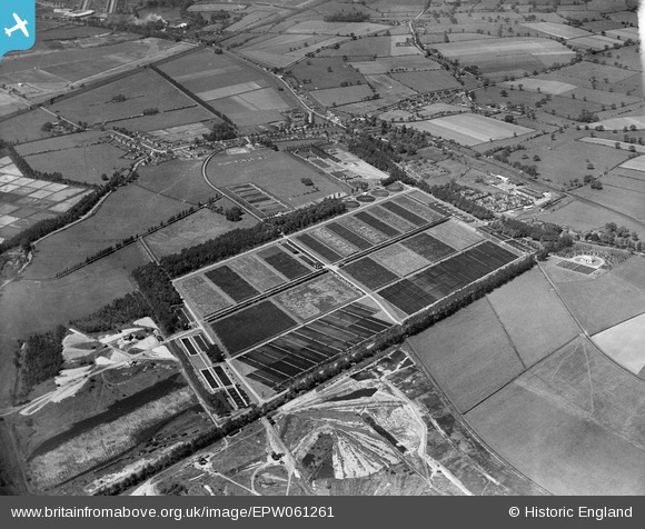
EPW061261 ENGLAND (1939). The Birmingham Tame and Rea District Drainage Board Sewage Works, Minworth, 1939
© Copyright OpenStreetMap contributors and licensed by the OpenStreetMap Foundation. 2024. Cartography is licensed as CC BY-SA.
Nearby Images (3)
EPW061261

EPW052850

EPW052851

Details
| Title | [EPW061261] The Birmingham Tame and Rea District Drainage Board Sewage Works, Minworth, 1939 |
| Reference | EPW061261 |
| Date | 31-May-1939 |
| Link | |
| Place name | MINWORTH |
| Parish | |
| District | |
| Country | ENGLAND |
| Easting / Northing | 416564, 292130 |
| Longitude / Latitude | -1.7558220733099, 52.526427188535 |
| National Grid Reference | SP166921 |
Pins
 frothy |
Monday 16th of January 2023 03:04:23 PM | |
frothy |
Monday 16th of January 2023 02:59:24 PM | |
frothy |
Monday 16th of January 2023 02:58:02 PM | |
 Martin |
Monday 30th of December 2013 06:39:57 PM | |
Martin |
Monday 30th of December 2013 06:39:18 PM | |
Martin |
Monday 30th of December 2013 06:38:27 PM |


