
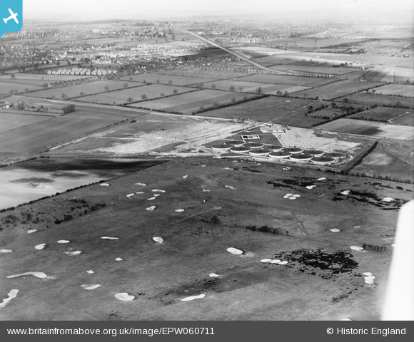
EPW060711 ENGLAND (1939). Ashby Sewage Works, the Holme Hall Golf Course and environs, Ashby, 1939
© Copyright OpenStreetMap contributors and licensed by the OpenStreetMap Foundation. 2024. Cartography is licensed as CC BY-SA.
Nearby Images (4)
EPW060711

EPW060702

EPW060706

EPW060710

Details
| Title | [EPW060711] Ashby Sewage Works, the Holme Hall Golf Course and environs, Ashby, 1939 |
| Reference | EPW060711 |
| Date | 14-March-1939 |
| Link | |
| Place name | ASHBY |
| Parish | |
| District | |
| Country | ENGLAND |
| Easting / Northing | 491461, 407834 |
| Longitude / Latitude | -0.61908695786641, 53.558903846216 |
| National Grid Reference | SE915078 |
Pins
Be the first to add a comment to this image!


