
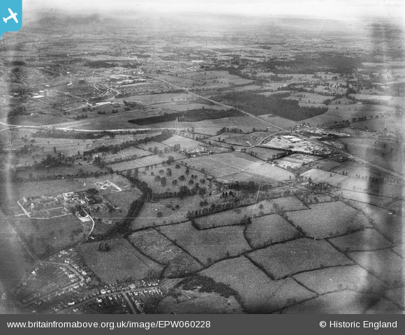
EPW060228 ENGLAND (1938). Countryside surrounding the Royal Caledonian School, Bushey, from the south-east, 1938
© Copyright OpenStreetMap contributors and licensed by the OpenStreetMap Foundation. 2024. Cartography is licensed as CC BY-SA.
Details
| Title | [EPW060228] Countryside surrounding the Royal Caledonian School, Bushey, from the south-east, 1938 |
| Reference | EPW060228 |
| Date | 15-December-1938 |
| Link | |
| Place name | BUSHEY |
| Parish | |
| District | |
| Country | ENGLAND |
| Easting / Northing | 513395, 196363 |
| Longitude / Latitude | -0.36062213022317, 51.654138780008 |
| National Grid Reference | TQ134964 |
Pins
 OldBill |
Wednesday 1st of November 2017 08:08:42 PM | |
OldBill |
Wednesday 1st of November 2017 08:07:47 PM | |
OldBill |
Wednesday 1st of November 2017 08:06:25 PM | |
OldBill |
Wednesday 1st of November 2017 08:05:48 PM | |
the morris dancer |
Monday 10th of March 2014 05:38:18 PM | |
the morris dancer |
Monday 10th of March 2014 05:36:41 PM | |
ordinarybloke |
Friday 28th of February 2014 10:25:53 AM | |
ordinarybloke |
Friday 28th of February 2014 10:24:59 AM | |
ordinarybloke |
Friday 28th of February 2014 10:22:59 AM | |
ordinarybloke |
Tuesday 7th of January 2014 05:13:26 PM |
User Comment Contributions
 Children from the 'Callie' used to attend both Oxhey Infants and Bushey Manor |
ordinarybloke |
Tuesday 7th of January 2014 05:15:04 PM |