
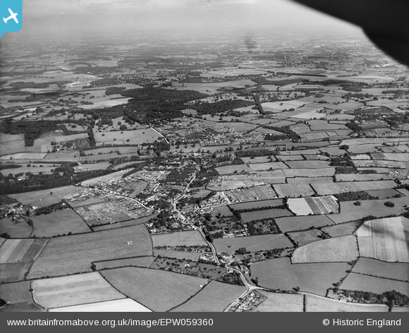
EPW059360 ENGLAND (1938). The town and surrounding countryside, Chalfont St Giles, from the south-west, 1938
© Copyright OpenStreetMap contributors and licensed by the OpenStreetMap Foundation. 2024. Cartography is licensed as CC BY-SA.
Nearby Images (2)
EPW059360

EPW036333

Details
| Title | [EPW059360] The town and surrounding countryside, Chalfont St Giles, from the south-west, 1938 |
| Reference | EPW059360 |
| Date | 13-September-1938 |
| Link | |
| Place name | CHALFONT ST GILES |
| Parish | CHALFONT ST. GILES |
| District | |
| Country | ENGLAND |
| Easting / Northing | 498356, 193157 |
| Longitude / Latitude | -0.578868217846, 51.628151643131 |
| National Grid Reference | SU984932 |
Pins
Be the first to add a comment to this image!


