
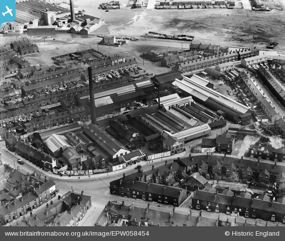
EPW058454 ENGLAND (1938). The William Park and Co Clarington Forge, Wigan, 1938
© Copyright OpenStreetMap contributors and licensed by the OpenStreetMap Foundation. 2024. Cartography is licensed as CC BY-SA.
Nearby Images (6)
EPW058454

EPW058451

EPW058453

EPW058450

EPW058449

EPW058452

Details
| Title | [EPW058454] The William Park and Co Clarington Forge, Wigan, 1938 |
| Reference | EPW058454 |
| Date | 26-July-1938 |
| Link | |
| Place name | WIGAN |
| Parish | |
| District | |
| Country | ENGLAND |
| Easting / Northing | 359417, 405479 |
| Longitude / Latitude | -2.612510329838, 53.544136617635 |
| National Grid Reference | SD594055 |
Pins
 Jim Liptrot |
Sunday 4th of October 2020 03:12:12 PM |


