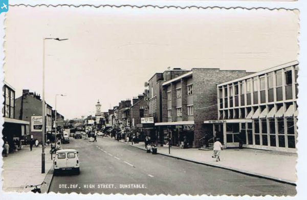
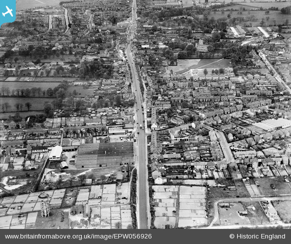
EPW056926 ENGLAND (1938). High Street South, the Bigthan Stationery Works and environs, Dunstable, 1938
© Copyright OpenStreetMap contributors and licensed by the OpenStreetMap Foundation. 2024. Cartography is licensed as CC BY-SA.
Nearby Images (3)
EPW056926

EPW056925

EPW056924

Details
| Title | [EPW056926] High Street South, the Bigthan Stationery Works and environs, Dunstable, 1938 |
| Reference | EPW056926 |
| Date | 26-April-1938 |
| Link | |
| Place name | DUNSTABLE |
| Parish | DUNSTABLE |
| District | |
| Country | ENGLAND |
| Easting / Northing | 502344, 221414 |
| Longitude / Latitude | -0.51294556101832, 51.881445294482 |
| National Grid Reference | TL023214 |
Pins
 Ferrers |
Saturday 14th of May 2022 07:57:01 PM | |
 Pete S |
Friday 5th of March 2021 12:54:05 AM | |
ordinarybloke |
Saturday 11th of March 2017 01:39:52 AM | |
Jester |
Monday 23rd of September 2013 05:58:37 PM |