
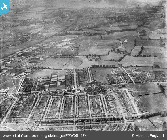
EPW051474 ENGLAND (1936). Housing development off Farnham Road, the Slough Trading estate and environs, Slough, 1936
© Copyright OpenStreetMap contributors and licensed by the OpenStreetMap Foundation. 2024. Cartography is licensed as CC BY-SA.
Nearby Images (6)
EPW051474

EPW051486

EPW037501

EPW051473

EPW051475

EPW051491

Details
| Title | [EPW051474] Housing development off Farnham Road, the Slough Trading estate and environs, Slough, 1936 |
| Reference | EPW051474 |
| Date | August-1936 |
| Link | |
| Place name | SLOUGH |
| Parish | |
| District | |
| Country | ENGLAND |
| Easting / Northing | 495627, 181850 |
| Longitude / Latitude | -0.62136606860464, 51.526974782484 |
| National Grid Reference | SU956819 |


