
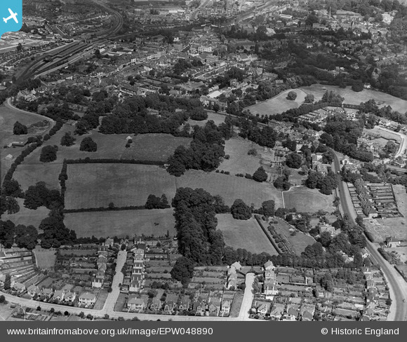
EPW048890 ENGLAND (1935). Fields to the west of the town, Epsom, 1935
© Copyright OpenStreetMap contributors and licensed by the OpenStreetMap Foundation. 2024. Cartography is licensed as CC BY-SA.
Nearby Images (11)
EPW048890

EPW048888
, and adjacent fields, Epsom, 1935")
EPW048885

EPW048884

EPW048882
, Dudley Grove and environs, Epsom, 1935")
EPW048881
, Dorking Road and environs, Epsom, 1935")
EPW048887
, Dorking Road and environs, Epsom, 1935")
EPW048886

EPW048880

EPW048883

EPW048889

Details
| Title | [EPW048890] Fields to the west of the town, Epsom, 1935 |
| Reference | EPW048890 |
| Date | August-1935 |
| Link | |
| Place name | EPSOM |
| Parish | |
| District | |
| Country | ENGLAND |
| Easting / Northing | 520420, 160325 |
| Longitude / Latitude | -0.27140643232769, 51.328753738504 |
| National Grid Reference | TQ204603 |


