
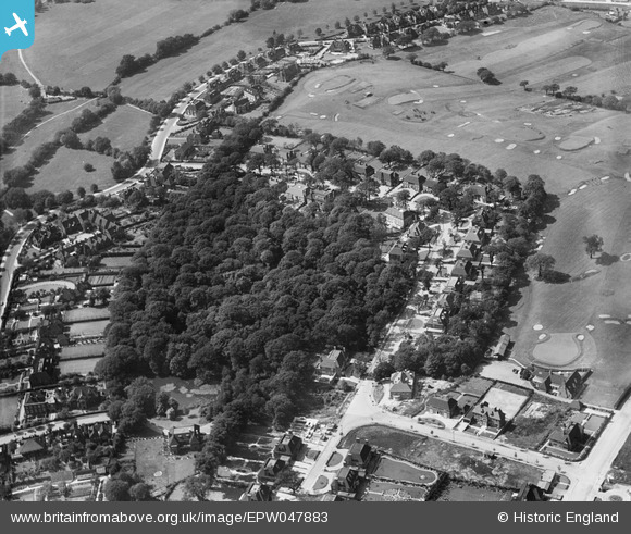
EPW047883 ENGLAND (1935). Ingram Avenue and Turner's Wood, Hampstead Garden Suburb, 1935
© Copyright OpenStreetMap contributors and licensed by the OpenStreetMap Foundation. 2024. Cartography is licensed as CC BY-SA.
Nearby Images (4)
EPW047883

EPW047882

EPW047871

EPW047881

Details
| Title | [EPW047883] Ingram Avenue and Turner's Wood, Hampstead Garden Suburb, 1935 |
| Reference | EPW047883 |
| Date | June-1935 |
| Link | |
| Place name | HAMPSTEAD GARDEN SUBURB |
| Parish | |
| District | |
| Country | ENGLAND |
| Easting / Northing | 526311, 187576 |
| Longitude / Latitude | -0.17715652390893, 51.572409033715 |
| National Grid Reference | TQ263876 |
Pins
Be the first to add a comment to this image!