
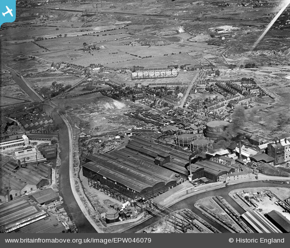
EPW046079 ENGLAND (1934). The Edwin Danks and Co Ltd Oldbury Boiler Works and environs, Oldbury, from the south-east, 1934
© Copyright OpenStreetMap contributors and licensed by the OpenStreetMap Foundation. 2024. Cartography is licensed as CC BY-SA.
Nearby Images (26)
EPW046079

EPW046083

EPW046077

EPW046078

EPW046084

EPW046085

EPW046081

EPW046082

EPW046080

EPW046068

EPW046071

EAW021482

EAW021481

EAW021478

EPW048860

EPW046044

EAW021483

EPW046070

EPW046048

EAW021479

EPW046042

EPW046072

EAW021484

EPW046069

EAW021480

EPW046086

Details
| Title | [EPW046079] The Edwin Danks and Co Ltd Oldbury Boiler Works and environs, Oldbury, from the south-east, 1934 |
| Reference | EPW046079 |
| Date | September-1934 |
| Link | |
| Place name | OLDBURY |
| Parish | |
| District | |
| Country | ENGLAND |
| Easting / Northing | 398478, 289736 |
| Longitude / Latitude | -2.022425686168, 52.505152574411 |
| National Grid Reference | SO985897 |
Pins
Be the first to add a comment to this image!


