
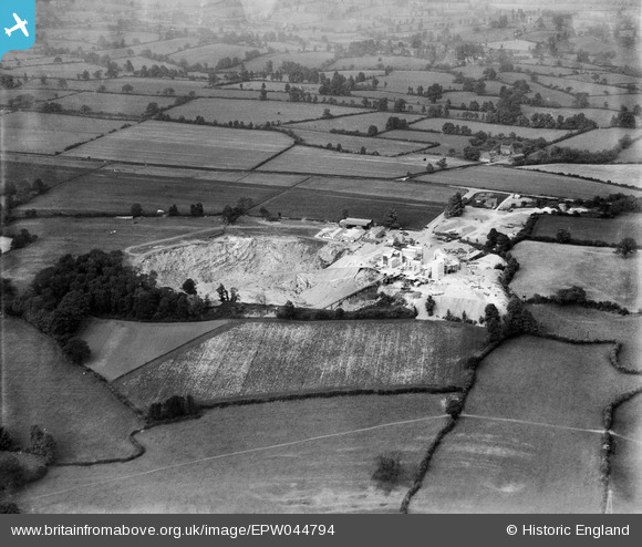
EPW044794 ENGLAND (1934). Wickwar Quarry and surrounding countryside, Cromhall, from the south-west, 1934
© Copyright OpenStreetMap contributors and licensed by the OpenStreetMap Foundation. 2024. Cartography is licensed as CC BY-SA.
Nearby Images (6)
EPW044794

EPW044795

EPW044793

EPW044789

EPW044792

EPW044796

Details
| Title | [EPW044794] Wickwar Quarry and surrounding countryside, Cromhall, from the south-west, 1934 |
| Reference | EPW044794 |
| Date | June-1934 |
| Link | |
| Place name | CROMHALL |
| Parish | CROMHALL |
| District | |
| Country | ENGLAND |
| Easting / Northing | 371363, 189744 |
| Longitude / Latitude | -2.4135555996288, 51.605332660733 |
| National Grid Reference | ST714897 |
Pins
 Michael Walters |
Sunday 17th of November 2013 01:24:03 AM | |
Michael Walters |
Sunday 17th of November 2013 01:23:09 AM | |
Michael Walters |
Sunday 17th of November 2013 01:22:13 AM |


