
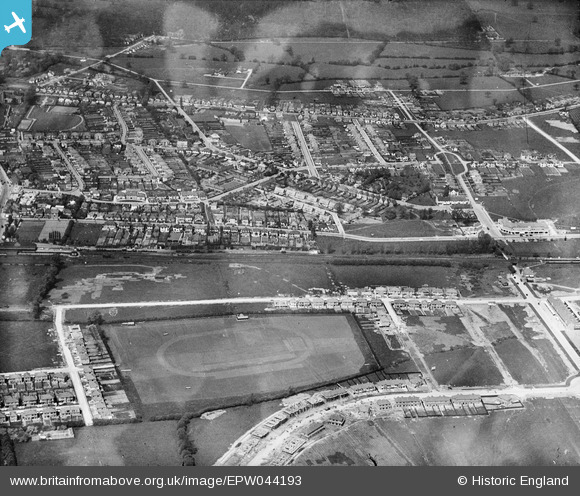
EPW044193 ENGLAND (1934). Housing under construction around Shenley Avenue, the LPTB Metropolitan Line and environs, Ruislip Manor, 1934
© Copyright OpenStreetMap contributors and licensed by the OpenStreetMap Foundation. 2024. Cartography is licensed as CC BY-SA.
Nearby Images (2)
EPW044193

EPW044518

Details
| Title | [EPW044193] Housing under construction around Shenley Avenue, the LPTB Metropolitan Line and environs, Ruislip Manor, 1934 |
| Reference | EPW044193 |
| Date | May-1934 |
| Link | |
| Place name | RUISLIP MANOR |
| Parish | |
| District | |
| Country | ENGLAND |
| Easting / Northing | 509798, 187192 |
| Longitude / Latitude | -0.41547665826313, 51.572415957461 |
| National Grid Reference | TQ098872 |


