
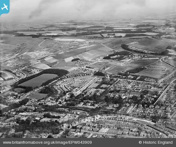
EPW043909 ENGLAND (1934). Withdean Park, housing development around Withdean Crescent and environs, Withdean, from the south-west, 1934
© Copyright OpenStreetMap contributors and licensed by the OpenStreetMap Foundation. 2024. Cartography is licensed as CC BY-SA.
Nearby Images (2)
EPW043909

EPW043907

Details
| Title | [EPW043909] Withdean Park, housing development around Withdean Crescent and environs, Withdean, from the south-west, 1934 |
| Reference | EPW043909 |
| Date | March-1934 |
| Link | |
| Place name | WITHDEAN |
| Parish | |
| District | |
| Country | ENGLAND |
| Easting / Northing | 530320, 107071 |
| Longitude / Latitude | -0.14858861900648, 50.847902989683 |
| National Grid Reference | TQ303071 |
Pins
Be the first to add a comment to this image!


