
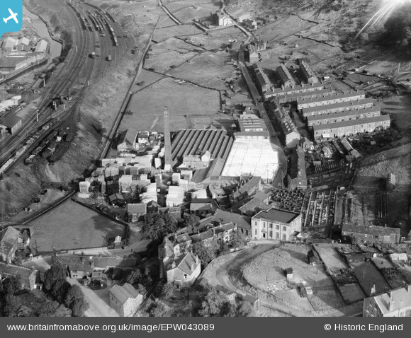
EPW043089 ENGLAND (1933). Thornber Brothers, Mytholmroyd, 1933
© Copyright OpenStreetMap contributors and licensed by the OpenStreetMap Foundation. 2024. Cartography is licensed as CC BY-SA.
Nearby Images (5)
EPW043089

EPW043088

EPW043083

EPW042894

EPW043090

Details
| Title | [EPW043089] Thornber Brothers, Mytholmroyd, 1933 |
| Reference | EPW043089 |
| Date | September-1933 |
| Link | |
| Place name | MYTHOLMROYD |
| Parish | HEBDEN ROYD |
| District | |
| Country | ENGLAND |
| Easting / Northing | 401300, 425700 |
| Longitude / Latitude | -1.9802942419096, 53.727475182273 |
| National Grid Reference | SE013257 |
Pins
Be the first to add a comment to this image!


