
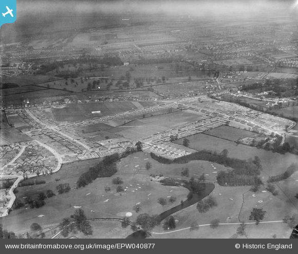
EPW040877 ENGLAND (1933). The Penhill Park Estate, Sidcup Golf Course and environs, Bexley, from the south-west, 1933
© Copyright OpenStreetMap contributors and licensed by the OpenStreetMap Foundation. 2024. Cartography is licensed as CC BY-SA.
Nearby Images (3)
EPW040877

EPW044370

EPW040882

Details
| Title | [EPW040877] The Penhill Park Estate, Sidcup Golf Course and environs, Bexley, from the south-west, 1933 |
| Reference | EPW040877 |
| Date | March-1933 |
| Link | |
| Place name | BEXLEY |
| Parish | |
| District | |
| Country | ENGLAND |
| Easting / Northing | 546833, 173547 |
| Longitude / Latitude | 0.11296040625854, 51.441367687795 |
| National Grid Reference | TQ468735 |
Pins
 Barney |
Sunday 20th of May 2018 09:50:40 AM |


