
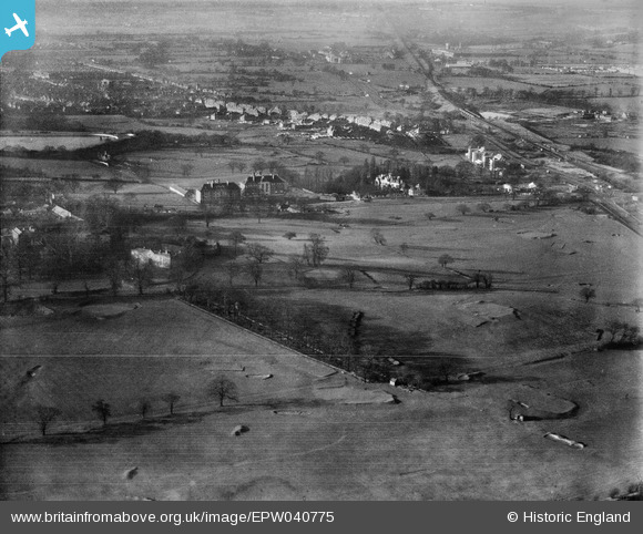
EPW040775 ENGLAND (1932). Hanger Hill and environs, Ealing, 1932
© Copyright OpenStreetMap contributors and licensed by the OpenStreetMap Foundation. 2024. Cartography is licensed as CC BY-SA.
Nearby Images (7)
EPW040775

EPW025993

EPW026000

EPW025999

EPW025995

EAW015161

EAW015160

Details
| Title | [EPW040775] Hanger Hill and environs, Ealing, 1932 |
| Reference | EPW040775 |
| Date | December-1932 |
| Link | |
| Place name | EALING |
| Parish | |
| District | |
| Country | ENGLAND |
| Easting / Northing | 518755, 182173 |
| Longitude / Latitude | -0.28797029644603, 51.525487254939 |
| National Grid Reference | TQ188822 |


