
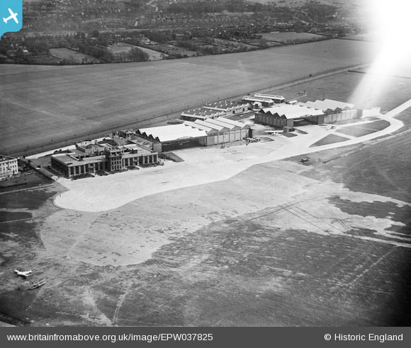
EPW037825 ENGLAND (1932). Terminal building and hangars at Croydon Airport, Waddon, 1932
© Copyright OpenStreetMap contributors and licensed by the OpenStreetMap Foundation. 2024. Cartography is licensed as CC BY-SA.
Nearby Images (30)
EPW037825

EPW021423

EPW021422

EPW025097

EPW046610

EPW037828

EPW060397

EPW037827

EPW025098

EPW046609

EPW025099

EPW046611

EPW046606

EAW052826

EAW052827
 at Croydon Airport, Croydon, 1953. This image was marked by Aerofilms Ltd for photo editing.")
EAW052825

EAW052829
 at Croydon Airport, Croydon, 1953. This image was marked by Aerofilms Ltd for photo editing.")
EAW052830
 at Croydon Airport, Croydon, 1953. This image was marked by Aerofilms Ltd for photo editing.")
EPW060370

EPW025102

EAW052831
 at Croydon Airport, Croydon, 1953. This image was marked by Aerofilms Ltd for photo editing.")
EPW032785

EPW046608

EAW052824

EPW032786

EPW046607

EAW052828
 at Croydon Airport, Croydon, 1953. This image was marked by Aerofilms Ltd for photo editing.")
EPW037826

EAW052832
 at Croydon Airport, Croydon, 1953. This image was marked by Aerofilms Ltd for photo editing.")
EAW052833
 alongside Aerodrome Hotel at Croydon Airport, Croydon, 1953. This image was marked by Aerofilms Ltd for photo editing.")
Details
| Title | [EPW037825] Terminal building and hangars at Croydon Airport, Waddon, 1932 |
| Reference | EPW037825 |
| Date | May-1932 |
| Link | |
| Place name | WADDON |
| Parish | |
| District | |
| Country | ENGLAND |
| Easting / Northing | 531131, 163526 |
| Longitude / Latitude | -0.1165594604309, 51.355154728162 |
| National Grid Reference | TQ311635 |
Pins
Be the first to add a comment to this image!


