
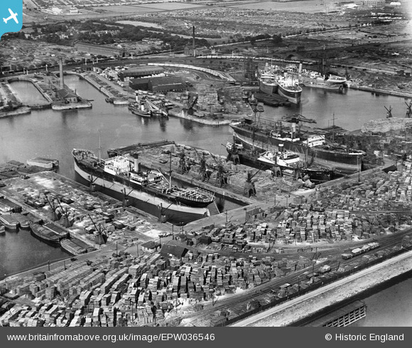
EPW036546 ENGLAND (1931). Alexandra Dock, Kingston upon Hull, 1931
© Copyright OpenStreetMap contributors and licensed by the OpenStreetMap Foundation. 2024. Cartography is licensed as CC BY-SA.
Nearby Images (7)
EPW036546

EPW012698

EPW012699

EPW036422

EPW036559

EAW046144

EAW015662

Details
| Title | [EPW036546] Alexandra Dock, Kingston upon Hull, 1931 |
| Reference | EPW036546 |
| Date | August-1931 |
| Link | |
| Place name | KINGSTON UPON HULL |
| Parish | |
| District | |
| Country | ENGLAND |
| Easting / Northing | 512713, 428861 |
| Longitude / Latitude | -0.29073109588236, 53.743703079077 |
| National Grid Reference | TA127289 |


