
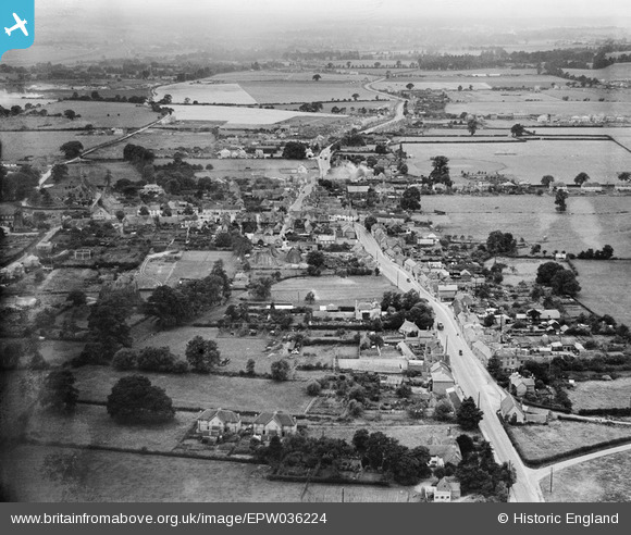
EPW036224 ENGLAND (1931). Chapel Street and environs, Thatcham, from the east, 1931
© Copyright OpenStreetMap contributors and licensed by the OpenStreetMap Foundation. 2024. Cartography is licensed as CC BY-SA.
Nearby Images (2)
EPW036224

EPW023279

Details
| Title | [EPW036224] Chapel Street and environs, Thatcham, from the east, 1931 |
| Reference | EPW036224 |
| Date | August-1931 |
| Link | |
| Place name | THATCHAM |
| Parish | THATCHAM |
| District | |
| Country | ENGLAND |
| Easting / Northing | 452109, 167393 |
| Longitude / Latitude | -1.2508055273967, 51.402675240605 |
| National Grid Reference | SU521674 |
