
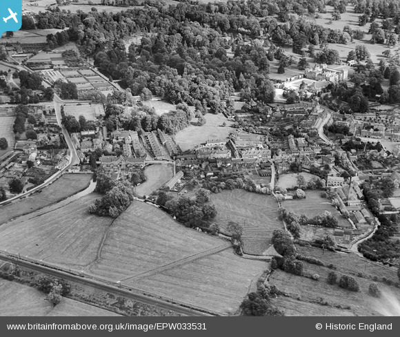
EPW033531 ENGLAND (1930). North Street and environs, Wilton, 1930
© Copyright OpenStreetMap contributors and licensed by the OpenStreetMap Foundation. 2024. Cartography is licensed as CC BY-SA.
Nearby Images (3)
EPW033531

EPW033534

EPW011127

Details
| Title | [EPW033531] North Street and environs, Wilton, 1930 |
| Reference | EPW033531 |
| Date | July-1930 |
| Link | |
| Place name | WILTON |
| Parish | WILTON |
| District | |
| Country | ENGLAND |
| Easting / Northing | 409823, 131422 |
| Longitude / Latitude | -1.8597512938117, 51.081501920476 |
| National Grid Reference | SU098314 |
Pins
 Neil Cooper |
Thursday 20th of May 2021 02:22:13 PM | |
 Class31 |
Wednesday 30th of July 2014 06:33:23 PM | |
Class31 |
Monday 15th of April 2013 10:55:14 PM | |
Class31 |
Monday 15th of April 2013 10:54:53 PM | |
Class31 |
Monday 15th of April 2013 10:54:05 PM | |
Class31 |
Monday 15th of April 2013 10:53:08 PM | |
Class31 |
Monday 15th of April 2013 10:52:10 PM | |
Class31 |
Monday 15th of April 2013 10:51:04 PM | |
Class31 |
Monday 15th of April 2013 10:50:32 PM | |
Class31 |
Monday 15th of April 2013 10:50:10 PM | |
Class31 |
Monday 15th of April 2013 10:49:51 PM | |
Class31 |
Monday 15th of April 2013 10:49:30 PM | |
That is the A36 but heading towards Salisbury. |
 PaulC |
Thursday 27th of February 2014 01:40:52 AM |
The road is King Street and today this is part of the A36. |
Class31 |
Wednesday 30th of July 2014 06:36:28 PM |
Class31 |
Monday 15th of April 2013 10:49:00 PM | |
Class31 |
Monday 15th of April 2013 10:48:38 PM |


