
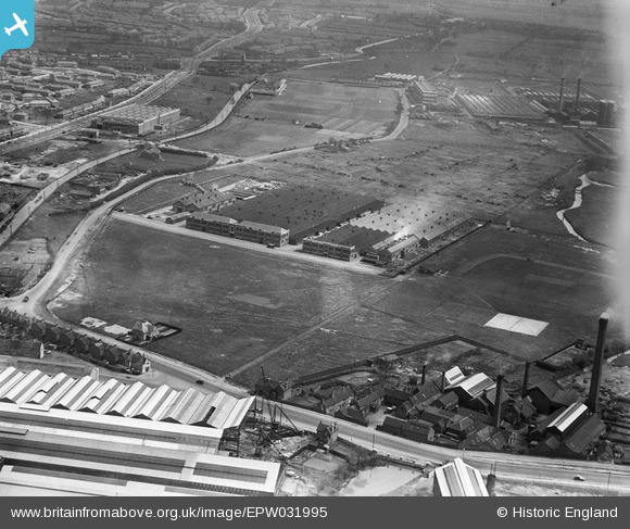
EPW031995 ENGLAND (1930). The Valor Works and environs, Bromford, 1930
© Copyright OpenStreetMap contributors and licensed by the OpenStreetMap Foundation. 2024. Cartography is licensed as CC BY-SA.
Nearby Images (18)
EPW031995

EPW031996

EPW031998

EPW031994

EPW031993

EPW031999

EPW032000

EPW031998A

EPW060847

EPW031997

EPW060846

EPW060840

EPW060841

EPW060844

EPW001103

EPW005702

EPW005703

EPW060838

Details
| Title | [EPW031995] The Valor Works and environs, Bromford, 1930 |
| Reference | EPW031995 |
| Date | 16-May-1930 |
| Link | |
| Place name | BROMFORD |
| Parish | |
| District | |
| Country | ENGLAND |
| Easting / Northing | 411649, 290153 |
| Longitude / Latitude | -1.8283453212969, 52.508779447437 |
| National Grid Reference | SP116902 |
Pins
Be the first to add a comment to this image!


