
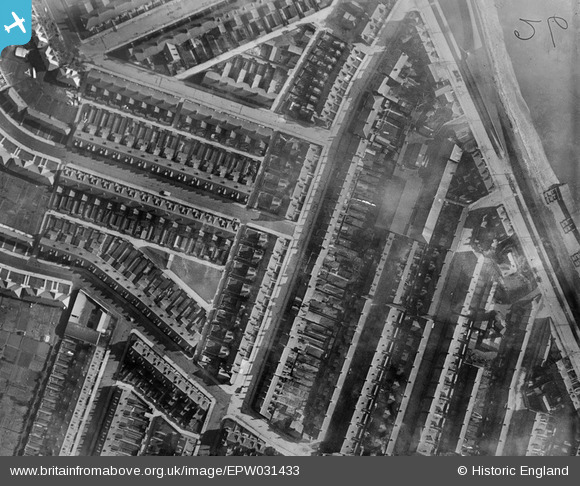
EPW031433 ENGLAND (1930). Terraced housing surrounding Marshfield Road and the Shuffleton Iron and Brass Foundry, Goole, 1930
© Copyright OpenStreetMap contributors and licensed by the OpenStreetMap Foundation. 2024. Cartography is licensed as CC BY-SA.
Nearby Images (3)
EPW031433

EAW022514

EPW031434

Details
| Title | [EPW031433] Terraced housing surrounding Marshfield Road and the Shuffleton Iron and Brass Foundry, Goole, 1930 |
| Reference | EPW031433 |
| Date | February-1930 |
| Link | |
| Place name | GOOLE |
| Parish | GOOLE |
| District | |
| Country | ENGLAND |
| Easting / Northing | 475090, 423844 |
| Longitude / Latitude | -0.86233882813097, 53.705391507241 |
| National Grid Reference | SE751238 |
Pins
Be the first to add a comment to this image!


