
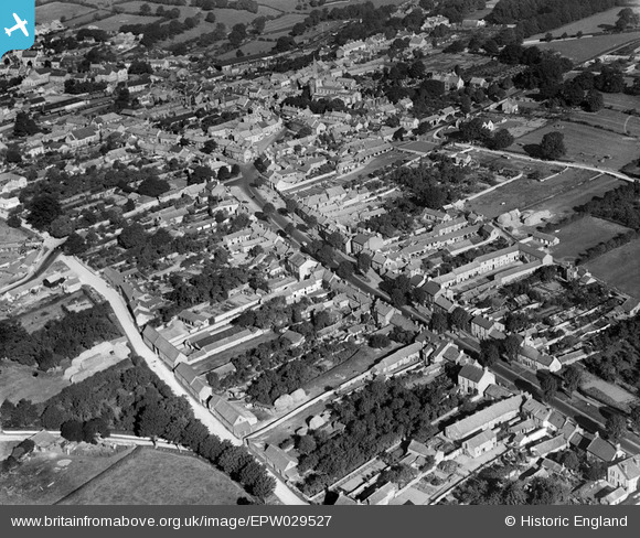
EPW029527 ENGLAND (1929). Eastgate and the town, Pickering, 1929
© Copyright OpenStreetMap contributors and licensed by the OpenStreetMap Foundation. 2024. Cartography is licensed as CC BY-SA.
Nearby Images (4)
EPW029527

EAW050711

EPW029533

EAW050712

Details
| Title | [EPW029527] Eastgate and the town, Pickering, 1929 |
| Reference | EPW029527 |
| Date | September-1929 |
| Link | |
| Place name | PICKERING |
| Parish | PICKERING |
| District | |
| Country | ENGLAND |
| Easting / Northing | 480036, 483744 |
| Longitude / Latitude | -0.77168888598837, 54.24296045737 |
| National Grid Reference | SE800837 |
Pins
 John W |
Friday 3rd of April 2020 12:23:01 PM | |
Philip |
Saturday 6th of December 2014 06:00:36 AM | |
Philip |
Saturday 6th of December 2014 05:59:52 AM | |
 Alan McFaden |
Friday 7th of November 2014 10:48:07 AM | |
Chells809 |
Tuesday 6th of November 2012 09:39:53 PM | |
Chells809 |
Tuesday 6th of November 2012 09:38:52 PM |
User Comment Contributions
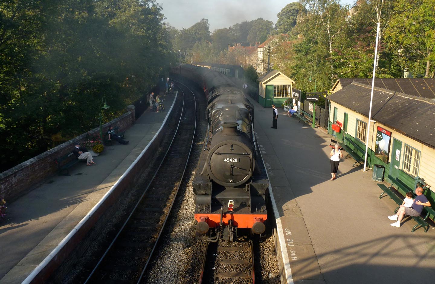 Pickering Railway Station 2011 |
Alan McFaden |
Friday 7th of November 2014 10:51:10 AM |
 Pickering Railway Station 2011 |
Alan McFaden |
Friday 7th of November 2014 10:50:45 AM |
 Pickering Railway Station 2011 |
Alan McFaden |
Friday 7th of November 2014 10:50:20 AM |
 Pickering |
Alan McFaden |
Friday 7th of November 2014 10:49:52 AM |
 Pickering |
Alan McFaden |
Friday 7th of November 2014 10:49:33 AM |
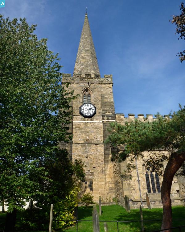
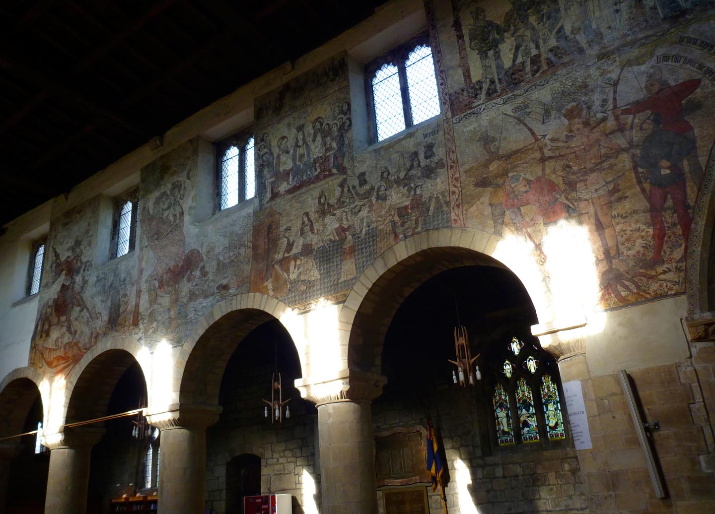 Pickering Saint Peter and Saint Paul's Church Medieval Paintings 2011 |
Alan McFaden |
Friday 7th of November 2014 10:49:02 AM |