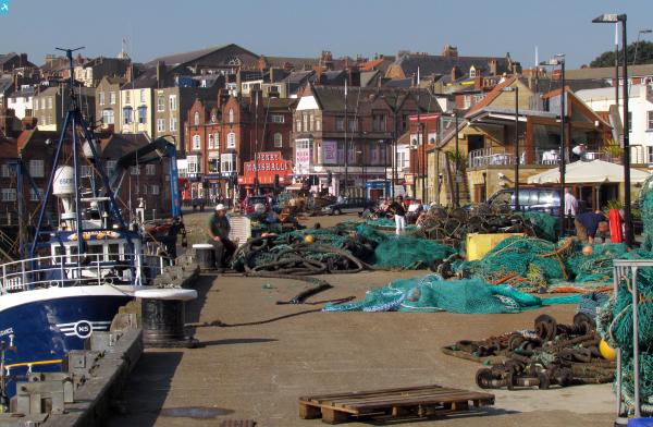
EPW029091 ENGLAND (1929). Prince of Wales Terrace and environs, Scarborough, 1929

© Copyright OpenStreetMap contributors and licensed by the OpenStreetMap Foundation. 2024. Cartography is licensed as CC BY-SA.
Nearby Images (5)
EPW029091

EPW038937

EPW029090

EPW038936

EAW016691

Details
| Title | [EPW029091] Prince of Wales Terrace and environs, Scarborough, 1929 |
| Reference | EPW029091 |
| Date | 12-September-1929 |
| Link | |
| Place name | SCARBOROUGH |
| Parish | |
| District | |
| Country | ENGLAND |
| Easting / Northing | 504294, 487645 |
| Longitude / Latitude | -0.39818563990702, 54.273642896906 |
| National Grid Reference | TA043876 |
Pins
 MikoBrighton |
Wednesday 14th of August 2013 10:12:21 PM | |
MikoBrighton |
Wednesday 14th of August 2013 10:10:39 PM | |
 Alan McFaden |
Tuesday 16th of July 2013 09:46:09 AM | |
Alan McFaden |
Tuesday 16th of July 2013 09:44:38 AM | |
Alan McFaden |
Tuesday 16th of July 2013 09:43:25 AM | |
Alan McFaden |
Tuesday 16th of July 2013 09:42:47 AM | |
 Class31 |
Tuesday 30th of October 2012 10:45:45 PM | |
Class31 |
Tuesday 30th of October 2012 10:43:35 PM | |
Class31 |
Tuesday 30th of October 2012 10:42:30 PM | |
Class31 |
Tuesday 30th of October 2012 10:41:06 PM | |
Class31 |
Tuesday 30th of October 2012 10:39:08 PM | |
Class31 |
Tuesday 30th of October 2012 10:38:24 PM |