
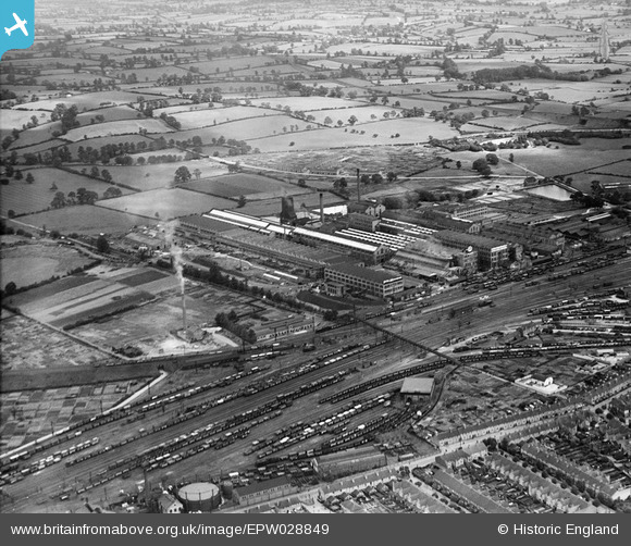
EPW028849 ENGLAND (1929). The British Thomson-Houston Electrical Engineering Works, Rugby, from the south-west, 1929
© Copyright OpenStreetMap contributors and licensed by the OpenStreetMap Foundation. 2024. Cartography is licensed as CC BY-SA.
Nearby Images (16)
EPW028849

EPW028219

EPW033937

EPW033932

EPW033938

EAW000240

EPW033934

EPW028854

EPW028853

EPW028855

EPW028221

EPW028852

EPW028216

EPW028214

EPW028217

EAW001117

Details
| Title | [EPW028849] The British Thomson-Houston Electrical Engineering Works, Rugby, from the south-west, 1929 |
| Reference | EPW028849 |
| Date | 30-August-1929 |
| Link | |
| Place name | RUGBY |
| Parish | |
| District | |
| Country | ENGLAND |
| Easting / Northing | 450494, 276079 |
| Longitude / Latitude | -1.2581029745152, 52.380035531277 |
| National Grid Reference | SP505761 |
Pins
 NaomiW |
Sunday 25th of January 2015 07:47:37 PM | |
NaomiW |
Sunday 25th of January 2015 07:46:37 PM | |
NaomiW |
Sunday 25th of January 2015 07:45:36 PM | |
NaomiW |
Sunday 25th of January 2015 07:44:59 PM | |
Philip |
Tuesday 2nd of December 2014 02:57:09 AM | |
Philip |
Tuesday 2nd of December 2014 02:56:00 AM | |
Philip |
Tuesday 2nd of December 2014 02:54:46 AM | |
Philip |
Tuesday 2nd of December 2014 02:47:50 AM |


