
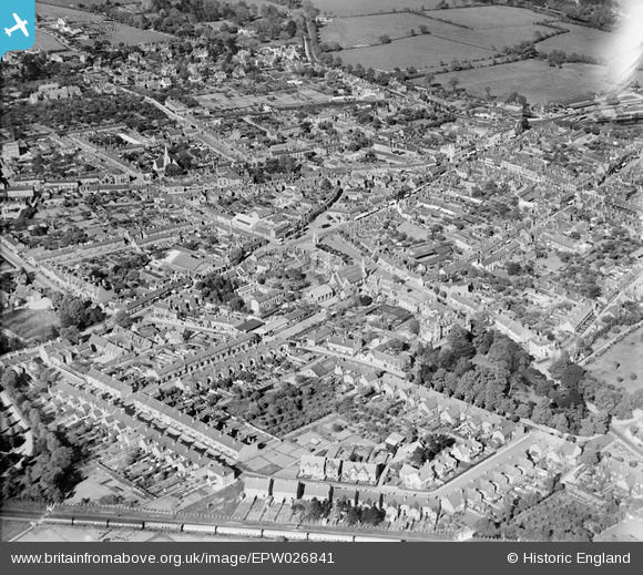
EPW026841 ENGLAND (1929). The town, Stratford-upon-Avon, from the west, 1929
© Copyright OpenStreetMap contributors and licensed by the OpenStreetMap Foundation. 2024. Cartography is licensed as CC BY-SA.
Nearby Images (6)
EPW026841

EAW013457

EPW001321

EAW013458

EPW026843

EPW010588

Details
| Title | [EPW026841] The town, Stratford-upon-Avon, from the west, 1929 |
| Reference | EPW026841 |
| Date | May-1929 |
| Link | |
| Place name | STRATFORD-UPON-AVON |
| Parish | STRATFORD-UPON-AVON |
| District | |
| Country | ENGLAND |
| Easting / Northing | 419684, 254869 |
| Longitude / Latitude | -1.7120153962307, 52.191306823336 |
| National Grid Reference | SP197549 |
