
EPW024247 ENGLAND (1928). Queen's Club and environs, West Kensington, 1928

© Copyright OpenStreetMap contributors and licensed by the OpenStreetMap Foundation. 2024. Cartography is licensed as CC BY-SA.
Nearby Images (4)
EPW024247

EPW006851

EPW006854

EPW021182

Details
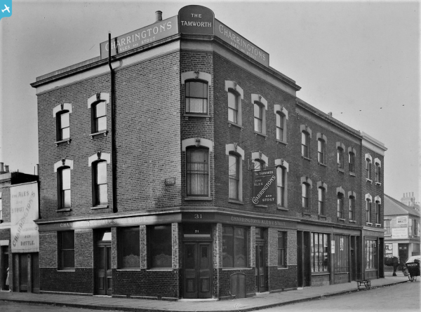
| Title | [EPW024247] Queen's Club and environs, West Kensington, 1928 |
| Reference | EPW024247 |
| Date | September-1928 |
| Link | |
| Place name | WEST KENSINGTON |
| Parish | |
| District | |
| Country | ENGLAND |
| Easting / Northing | 524306, 178057 |
| Longitude / Latitude | -0.20943661641258, 51.487297441254 |
| National Grid Reference | TQ243781 |
Pins
 |
 Leslie B |
Wednesday 5th of October 2022 02:40:37 PM |
Danno |
Saturday 4th of April 2020 02:36:52 PM | |
Danno |
Saturday 4th of April 2020 02:35:40 PM | |
Danno |
Saturday 4th of April 2020 02:34:10 PM | |
Danno |
Saturday 4th of April 2020 02:31:56 PM | |
Danno |
Saturday 4th of April 2020 02:25:52 PM | |
Danno |
Saturday 4th of April 2020 02:25:08 PM | |
Danno |
Saturday 4th of April 2020 02:24:12 PM | |
Danno |
Saturday 4th of April 2020 02:23:05 PM | |
Danno |
Saturday 4th of April 2020 02:19:26 PM | |
Danno |
Saturday 4th of April 2020 02:17:46 PM | |
gBr |
Thursday 11th of August 2016 10:07:35 AM | |
 Class31 |
Monday 29th of September 2014 03:44:19 PM | |
Class31 |
Monday 29th of September 2014 03:43:49 PM |


