
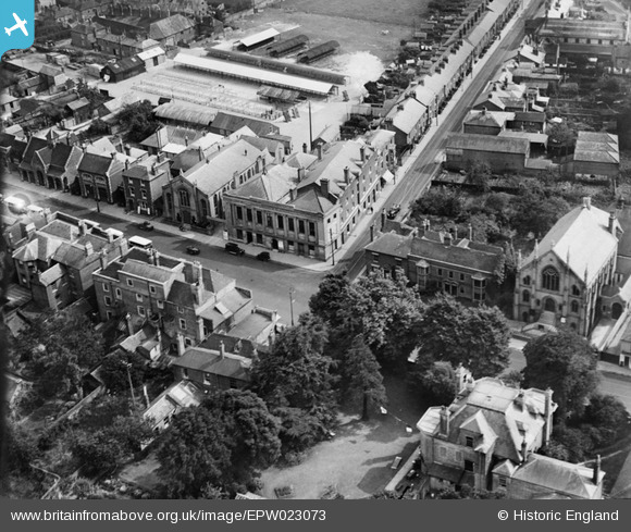
EPW023073 ENGLAND (1928). The town hall, Fareham, 1928
© Copyright OpenStreetMap contributors and licensed by the OpenStreetMap Foundation. 2024. Cartography is licensed as CC BY-SA.
Nearby Images (3)
EPW023073

EPW023066

EPW023074

Details
| Title | [EPW023073] The town hall, Fareham, 1928 |
| Reference | EPW023073 |
| Date | August-1928 |
| Link | |
| Place name | FAREHAM |
| Parish | |
| District | |
| Country | ENGLAND |
| Easting / Northing | 457919, 106197 |
| Longitude / Latitude | -1.1771188329901, 50.851828455539 |
| National Grid Reference | SU579062 |
Pins
 Bob Pitman |
Sunday 18th of December 2016 05:42:55 PM |


