
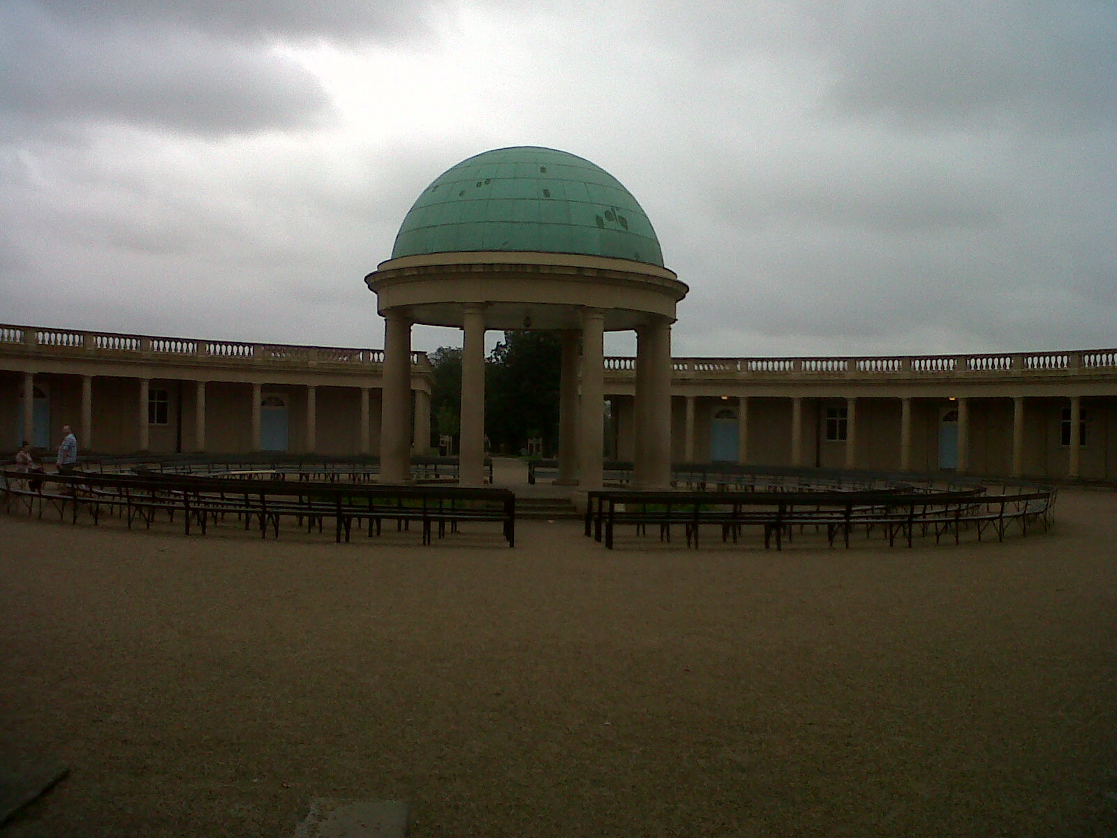
EPW021315 ENGLAND (1928). Eaton Park and environs, Norwich, 1928

© Copyright OpenStreetMap contributors and licensed by the OpenStreetMap Foundation. 2024. Cartography is licensed as CC BY-SA.
Nearby Images (6)
EPW021315

EPW021314

EPW021221

EPW021313

EPW021316

EPW039744

Details
| Title | [EPW021315] Eaton Park and environs, Norwich, 1928 |
| Reference | EPW021315 |
| Date | 26-May-1928 |
| Link | |
| Place name | NORWICH |
| Parish | |
| District | |
| Country | ENGLAND |
| Easting / Northing | 620534, 307493 |
| Longitude / Latitude | 1.2583832924453, 52.619983451774 |
| National Grid Reference | TG205075 |
Pins
 B.Young |
Thursday 17th of September 2015 09:29:47 AM | |
B.Young |
Thursday 17th of September 2015 09:24:02 AM | |
B.Young |
Thursday 17th of September 2015 09:21:15 AM | |
 Class31 |
Thursday 20th of June 2013 02:12:08 PM | |
Class31 |
Sunday 2nd of September 2012 05:59:07 PM | |
Class31 |
Sunday 2nd of September 2012 05:58:00 PM | |
Class31 |
Sunday 2nd of September 2012 05:56:19 PM | |
Class31 |
Sunday 2nd of September 2012 05:53:32 PM |

User Comment Contributions
 Eaton Park, Norwich, 02/09/2012 |
Class31 |
Sunday 21st of September 2014 08:38:05 PM |


