
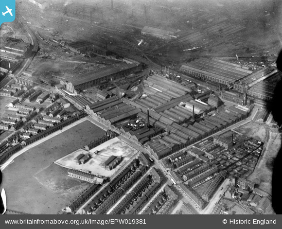
EPW019381 ENGLAND (1927). Gorton Foundry, Gorton, 1927
© Copyright OpenStreetMap contributors and licensed by the OpenStreetMap Foundation. 2024. Cartography is licensed as CC BY-SA.
Nearby Images (14)
EPW019381

EPW019382

EPW019383

EAW004386

EPW019384

EPW019380

EAW004392

EAW004387

EAW004391

EPW019385

EAW004385

EAW004388

EAW004389

EAW004390

Details
| Title | [EPW019381] Gorton Foundry, Gorton, 1927 |
| Reference | EPW019381 |
| Date | 30-September-1927 |
| Link | |
| Place name | GORTON |
| Parish | |
| District | |
| Country | ENGLAND |
| Easting / Northing | 388286, 396777 |
| Longitude / Latitude | -2.1764767011527, 53.467348542856 |
| National Grid Reference | SJ883968 |
Pins
 Bertmedia |
Monday 27th of March 2023 11:17:04 AM | |
niloc |
Thursday 20th of May 2021 11:44:12 PM | |
Barney Rubble |
Friday 23rd of August 2013 08:08:36 PM | |
Barney Rubble |
Friday 23rd of August 2013 08:07:51 PM | |
 Class31 |
Thursday 7th of March 2013 11:33:31 PM | |
Class31 |
Thursday 7th of March 2013 11:28:52 PM | |
Class31 |
Thursday 7th of March 2013 11:27:18 PM | |
Class31 |
Thursday 7th of March 2013 11:25:48 PM | |
Class31 |
Thursday 7th of March 2013 11:25:06 PM |