
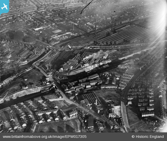
EPW017305 ENGLAND (1926). The Scotch Iron Foundry, Leeds Forge and environs, Armley, 1926
© Copyright OpenStreetMap contributors and licensed by the OpenStreetMap Foundation. 2024. Cartography is licensed as CC BY-SA.
Nearby Images (22)
EPW017305

EPW017303

EPW017306

EPW022702

EPW017304

EPW022703

EPW022708

EPW022701

EPW020772

EPW020773

EPW022704

EPW022705

EPW017307

EPW017308

EPW022706

EPW020771

EPW020770

EPW020774

EPW020775

EPW022709

EAW035539

EAW035544

Details
| Title | [EPW017305] The Scotch Iron Foundry, Leeds Forge and environs, Armley, 1926 |
| Reference | EPW017305 |
| Date | October-1926 |
| Link | |
| Place name | ARMLEY |
| Parish | |
| District | |
| Country | ENGLAND |
| Easting / Northing | 427723, 433903 |
| Longitude / Latitude | -1.5790364788106, 53.800475333685 |
| National Grid Reference | SE277339 |
Pins
Be the first to add a comment to this image!


