
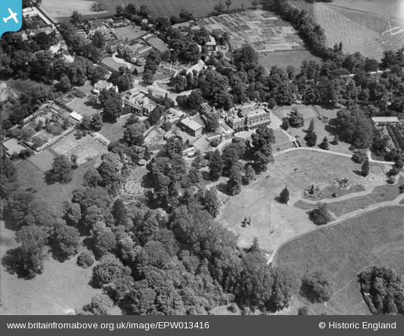
EPW013416 ENGLAND (1925). Copped Hall (later known as The Darlands), Totteridge, 1925
© Copyright OpenStreetMap contributors and licensed by the OpenStreetMap Foundation. 2024. Cartography is licensed as CC BY-SA.
Nearby Images (2)
EPW013416
, Totteridge, 1925")
EPW013417
, Totteridge, 1925")
Details
| Title | [EPW013416] Copped Hall (later known as The Darlands), Totteridge, 1925 |
| Reference | EPW013416 |
| Date | June-1925 |
| Link | |
| Place name | TOTTERIDGE |
| Parish | |
| District | |
| Country | ENGLAND |
| Easting / Northing | 524568, 194062 |
| Longitude / Latitude | -0.19999286990646, 51.631092533116 |
| National Grid Reference | TQ246941 |
Pins
Be the first to add a comment to this image!


