
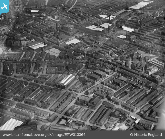
EPW013366 ENGLAND (1925). The town centre, Nelson, 1925
© Copyright OpenStreetMap contributors and licensed by the OpenStreetMap Foundation. 2024. Cartography is licensed as CC BY-SA.
Nearby Images (5)
EPW013366

EPW013250

EPW013251

EPW013367

EPW013368

Details
| Title | [EPW013366] The town centre, Nelson, 1925 |
| Reference | EPW013366 |
| Date | June-1925 |
| Link | |
| Place name | NELSON |
| Parish | NELSON |
| District | |
| Country | ENGLAND |
| Easting / Northing | 385939, 437880 |
| Longitude / Latitude | -2.2136952509777, 53.836772976428 |
| National Grid Reference | SD859379 |
Pins
 Mike Horsfall |
Thursday 13th of November 2014 01:47:02 PM |


