
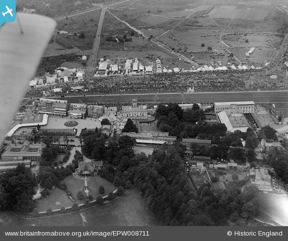
EPW008711 ENGLAND (1923). The Grandstand and Royal Enclosure, Ascot, 1923
© Copyright OpenStreetMap contributors and licensed by the OpenStreetMap Foundation. 2024. Cartography is licensed as CC BY-SA.
Nearby Images (25)
EPW008711

EAW042136

EAW042135

EAW021006

EPW008707

EPW008704

EPW026290

EPW006705

EPW036160

EPW008708

EPW006709

EPW008709

EPW026286

EPW026285

EPW006703

EPW006704

EPW008705

EPW013441

EPW026287

EPW006706

EPW026284

EPW013401

EPW006707

EAW022117

EAW042137

Details
| Title | [EPW008711] The Grandstand and Royal Enclosure, Ascot, 1923 |
| Reference | EPW008711 |
| Date | 1923 |
| Link | |
| Place name | ASCOT |
| Parish | SUNNINGHILL AND ASCOT |
| District | |
| Country | ENGLAND |
| Easting / Northing | 492091, 168917 |
| Longitude / Latitude | -0.67569973796921, 51.411293128912 |
| National Grid Reference | SU921689 |
Pins
Be the first to add a comment to this image!