
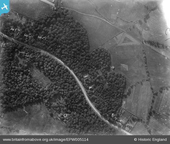
EPW005114 ENGLAND (1920). The Bishops Avenue and Bishops Wood, Hampstead, 1920
© Copyright OpenStreetMap contributors and licensed by the OpenStreetMap Foundation. 2024. Cartography is licensed as CC BY-SA.
Nearby Images (6)
EPW005114

EAW014552

EPW056795

EPW056794

EPW056793

EPW056796

Details
| Title | [EPW005114] The Bishops Avenue and Bishops Wood, Hampstead, 1920 |
| Reference | EPW005114 |
| Date | 18-October-1920 |
| Link | |
| Place name | HAMPSTEAD GARDEN SUBURB |
| Parish | |
| District | |
| Country | ENGLAND |
| Easting / Northing | 526758, 188134 |
| Longitude / Latitude | -0.17050782724094, 51.577323886255 |
| National Grid Reference | TQ268881 |
Pins
Be the first to add a comment to this image!