
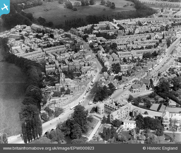
EPW000823 ENGLAND (1920). St Clements Street, Oxford, 1920
© Copyright OpenStreetMap contributors and licensed by the OpenStreetMap Foundation. 2025. Cartography is licensed as CC BY-SA.
Nearby Images (5)
EPW000823

EPW052779

EAW003932

EPW052776

EAW031683

Details
| Title | [EPW000823] St Clements Street, Oxford, 1920 |
| Reference | EPW000823 |
| Date | May-1920 |
| Link | |
| Place name | OXFORD |
| Parish | |
| District | |
| Country | ENGLAND |
| Easting / Northing | 452356, 206001 |
| Longitude / Latitude | -1.2414978358176, 51.749800462 |
| National Grid Reference | SP524060 |
Pins
 Al |
Friday 12th of April 2013 11:09:52 PM | |
Al |
Friday 12th of April 2013 11:06:36 PM | |
Al |
Friday 12th of April 2013 10:58:32 PM | |
Al |
Friday 12th of April 2013 10:56:02 PM | |
 Joe |
Saturday 23rd of February 2013 09:19:26 PM | |
.JPG) Val Forsdyke |
Friday 14th of December 2012 02:05:50 PM | |
= current name. Do you know if this is the name in 1920? |
Al |
Friday 12th of April 2013 10:50:48 PM |
Val Forsdyke |
Friday 14th of December 2012 02:02:49 PM | |
Val Forsdyke |
Friday 14th of December 2012 01:59:32 PM | |
Angel and Greyhound Meadow |
Al |
Friday 12th of April 2013 10:49:30 PM |
Val Forsdyke |
Friday 14th of December 2012 01:56:34 PM | |
Val Forsdyke |
Friday 14th of December 2012 01:54:05 PM | |
Val Forsdyke |
Tuesday 11th of December 2012 03:28:46 PM | |
Val Forsdyke |
Tuesday 11th of December 2012 03:25:01 PM | |
Val Forsdyke |
Monday 10th of December 2012 05:08:56 PM | |
Val Forsdyke |
Monday 10th of December 2012 04:56:33 PM | |
Barbara B |
Sunday 18th of November 2012 11:34:51 AM | |
Joan Bellinger |
Wednesday 14th of November 2012 07:58:30 PM | |
Joan Bellinger |
Wednesday 14th of November 2012 02:50:02 PM | |
Or possibly the Warnford? |
hbw |
Saturday 15th of June 2013 12:54:07 AM |
User Comment Contributions
 The Plain, Oxford, 27/01/2015 |
 Class31 |
Wednesday 28th of January 2015 10:54:42 PM |
 South Park, Oxford, 27/01/2015 |
Class31 |
Wednesday 28th of January 2015 10:53:01 PM |
 St. Clement's Street, Oxford, 27/01/2015 |
Class31 |
Wednesday 28th of January 2015 10:52:01 PM |
 St. Clement's Street, Oxford, 27/01/2015 |
Class31 |
Wednesday 28th of January 2015 10:51:28 PM |
 St. Clement's Street, Oxford, 27/01/2015 |
Class31 |
Wednesday 28th of January 2015 10:50:56 PM |
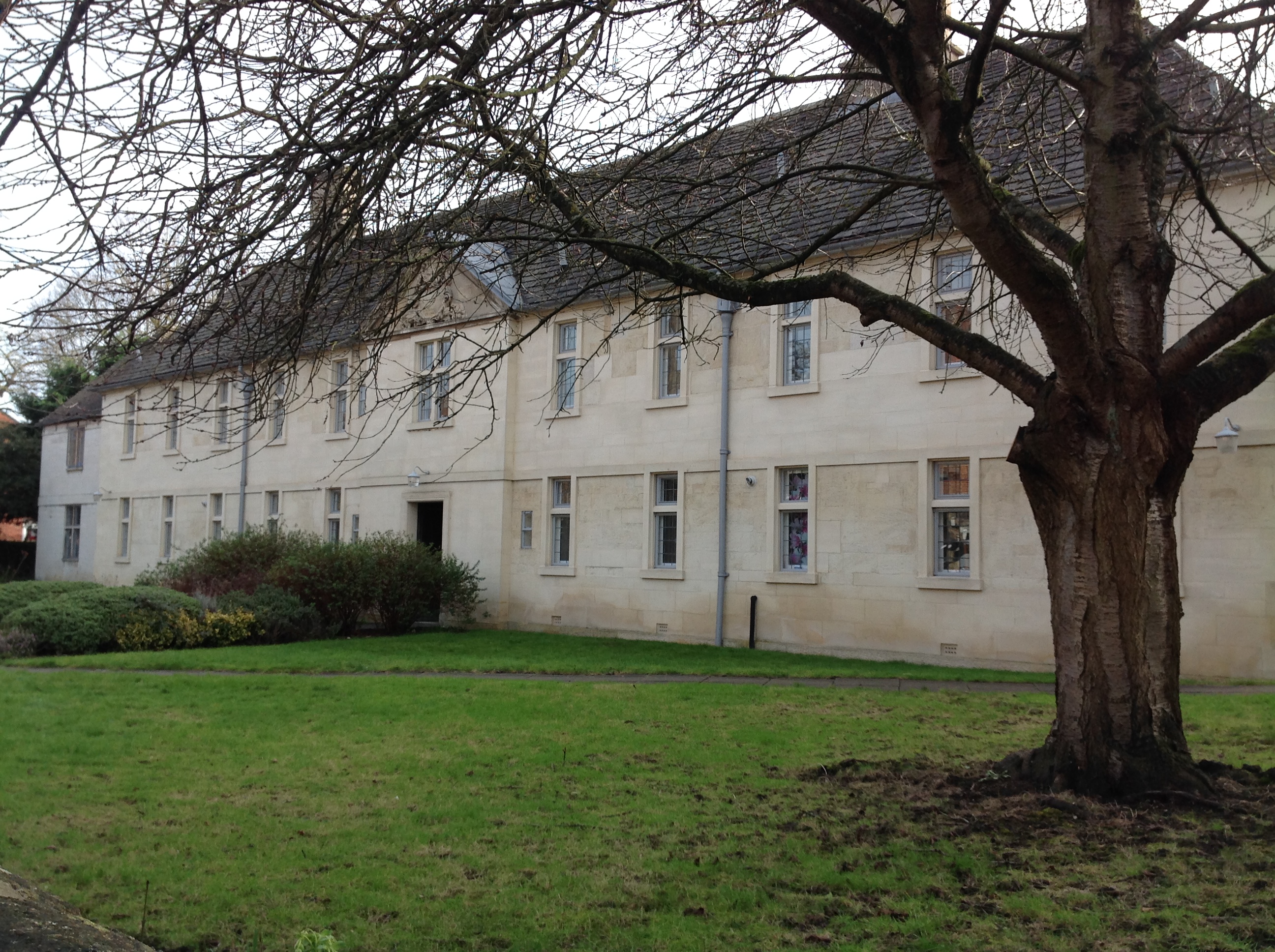 Stones Court, St. Clement's Street, Oxford, 27/01/2015 |
Class31 |
Wednesday 28th of January 2015 10:50:25 PM |
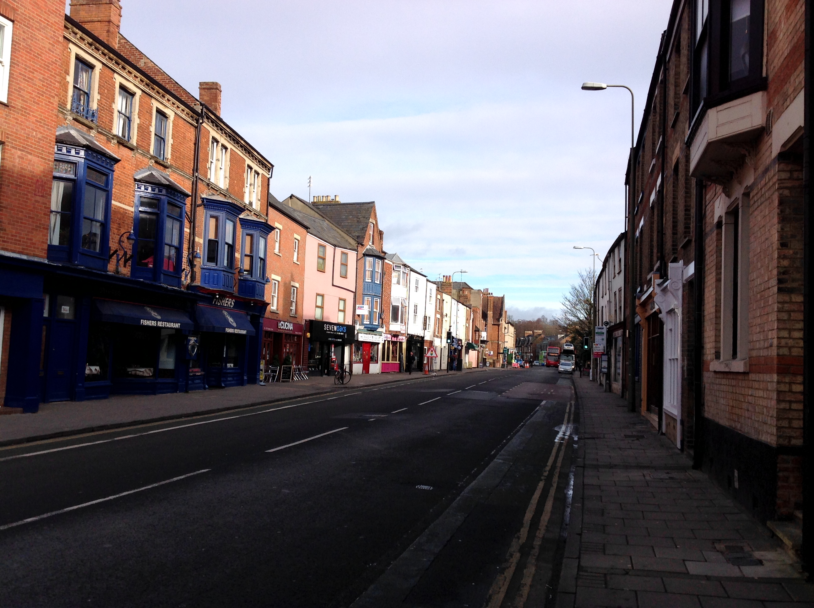 St. Clement's Street, Oxford, 27/01/2015 |
Class31 |
Wednesday 28th of January 2015 10:49:43 PM |
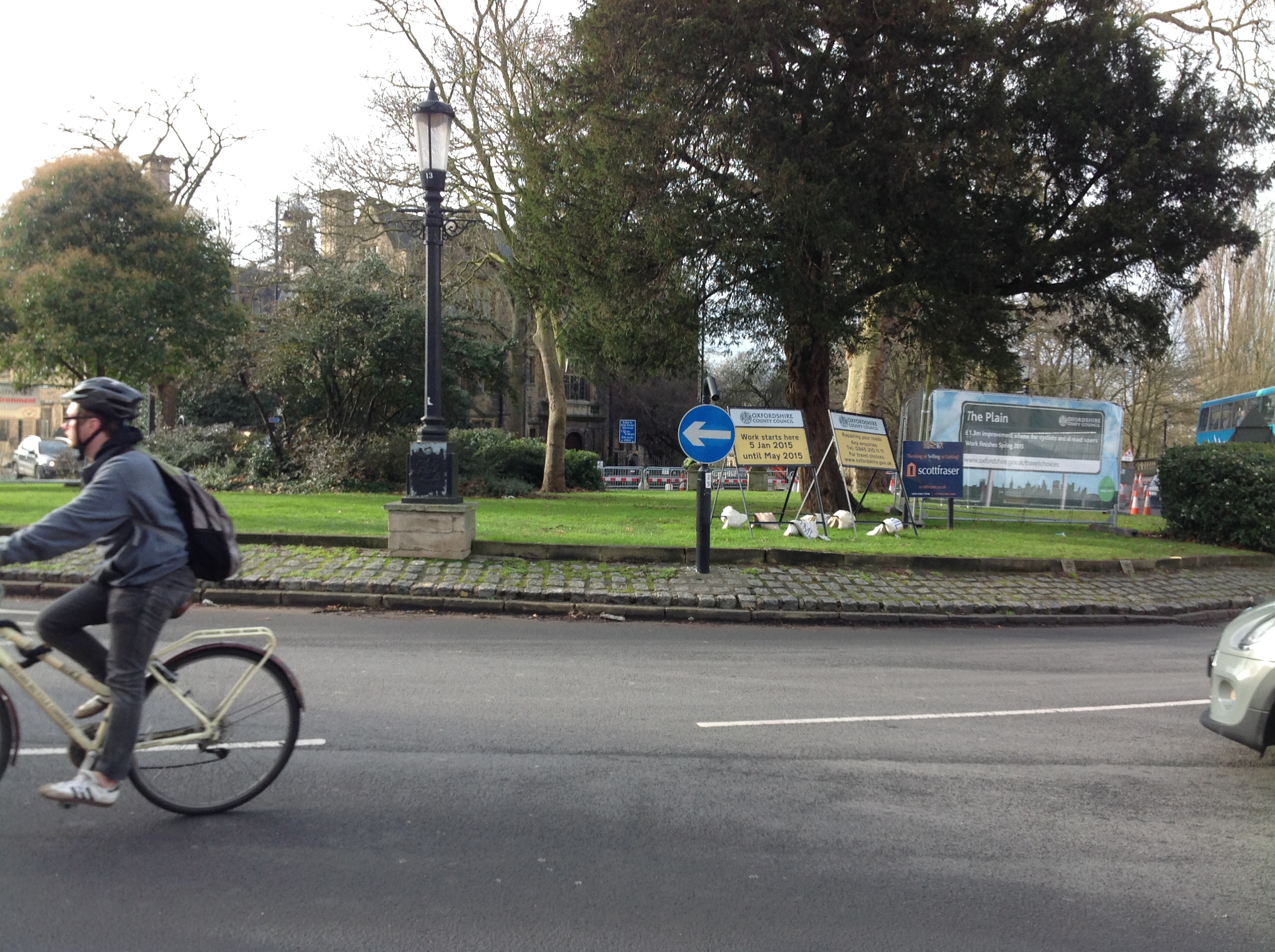 The Plain, Oxford, 27/01/2015 |
Class31 |
Wednesday 28th of January 2015 10:49:01 PM |
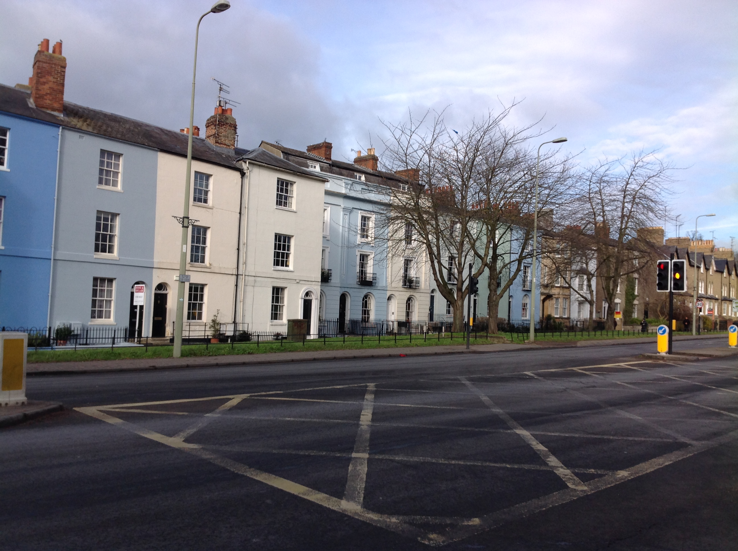
 A lovely view of St Clements |
Helen Fountain |
Thursday 27th of September 2012 09:20:35 PM |