
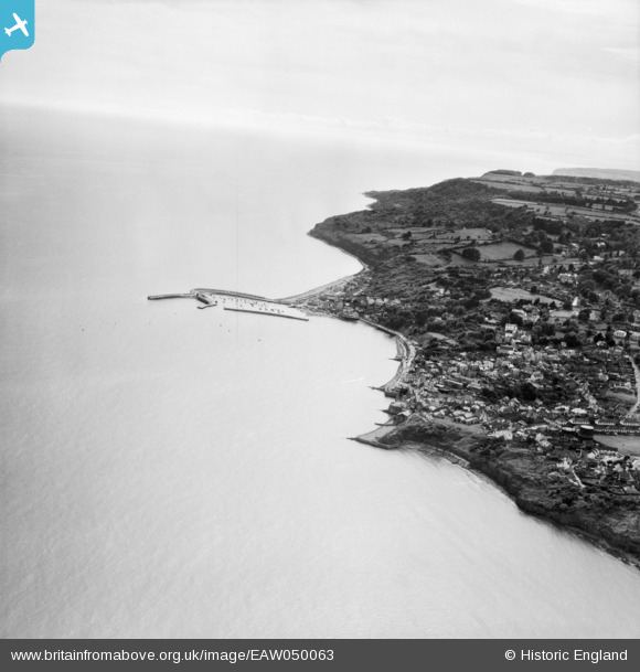
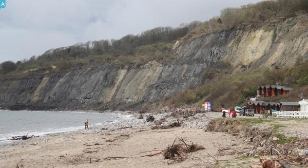
EAW050063 ENGLAND (1953). The town and harbour, Lyme Regis, from the north-east, 1953
© Copyright OpenStreetMap contributors and licensed by the OpenStreetMap Foundation. 2024. Cartography is licensed as CC BY-SA.
Nearby Images (18)
EAW050063

EPW024179

EPW013474

EPW023896

EPW039713

EAW033561

EAW033564

EPW013475

EAW033663

EAW033662

EAW033566

EPW013478

EAW033560

EAW033559

EPW023891

EAW033565

EAW033562

EAW033563

Details
| Title | [EAW050063] The town and harbour, Lyme Regis, from the north-east, 1953 |
| Reference | EAW050063 |
| Date | 25-June-1953 |
| Link | |
| Place name | LYME REGIS |
| Parish | LYME REGIS |
| District | |
| Country | ENGLAND |
| Easting / Northing | 334489, 92074 |
| Longitude / Latitude | -2.9282113506804, 50.724018221485 |
| National Grid Reference | SY345921 |
Pins
 redmist |
Wednesday 21st of September 2022 01:49:09 PM | |
redmist |
Wednesday 21st of September 2022 01:48:19 PM | |
 Alan McFaden |
Friday 6th of June 2014 09:41:33 AM | |
Alan McFaden |
Friday 6th of June 2014 09:40:43 AM | |
Alan McFaden |
Friday 6th of June 2014 09:40:13 AM | |
Alan McFaden |
Friday 6th of June 2014 09:39:25 AM | |
Alan McFaden |
Friday 6th of June 2014 09:38:44 AM | |
Alan McFaden |
Friday 6th of June 2014 09:38:04 AM | |
Alan McFaden |
Friday 6th of June 2014 09:37:27 AM |
User Comment Contributions
Just to say that the title of this photo should be 'The town and harbour, Lyme Regis' and not West Bay as shown. |
 Class31 |
Wednesday 2nd of July 2014 09:29:58 AM |
Thank you. We've updated the Title. |
Hefin Meara |
Monday 9th of June 2014 08:39:16 AM |
Or we thought we had, seems not to have registered though. We're on the case. |
Katy Whitaker |
Wednesday 2nd of July 2014 09:29:58 AM |


