
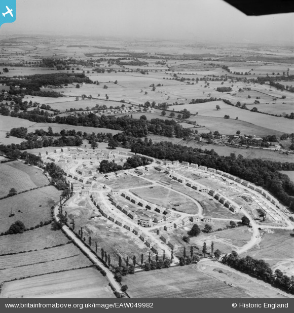
EAW049982 ENGLAND (1953). The residential area at Kettlethorpe under construction, Wakefield, from the west, 1953
© Copyright OpenStreetMap contributors and licensed by the OpenStreetMap Foundation. 2024. Cartography is licensed as CC BY-SA.
Nearby Images (9)
EAW049982

EAW050036

EAW049983

EAW049985

EAW049986

EAW049981

EAW049988

EAW049987

EAW049984

Details
| Title | [EAW049982] The residential area at Kettlethorpe under construction, Wakefield, from the west, 1953 |
| Reference | EAW049982 |
| Date | 18-June-1953 |
| Link | |
| Place name | WAKEFIELD |
| Parish | |
| District | |
| Country | ENGLAND |
| Easting / Northing | 432827, 416507 |
| Longitude / Latitude | -1.5033828047385, 53.643809320713 |
| National Grid Reference | SE328165 |
Pins
Be the first to add a comment to this image!


