
EAW049743 ENGLAND (1953). The Burnham High Lighthouse and environs, Burnham-on-Sea, 1953

© Copyright OpenStreetMap contributors and licensed by the OpenStreetMap Foundation. 2024. Cartography is licensed as CC BY-SA.
Nearby Images (2)
EAW049743

EPW027972

Details
| Title | [EAW049743] The Burnham High Lighthouse and environs, Burnham-on-Sea, 1953 |
| Reference | EAW049743 |
| Date | 28-May-1953 |
| Link | |
| Place name | BURNHAM-ON-SEA |
| Parish | BURNHAM-ON-SEA AND HIGHBRIDGE |
| District | |
| Country | ENGLAND |
| Easting / Northing | 330354, 150549 |
| Longitude / Latitude | -2.9980027157424, 51.249341280958 |
| National Grid Reference | ST304505 |
Pins
 Class31 |
Friday 13th of February 2015 09:13:24 AM | |
Class31 |
Wednesday 11th of February 2015 10:14:42 AM | |
Class31 |
Wednesday 11th of February 2015 10:11:05 AM | |
Class31 |
Wednesday 11th of February 2015 10:08:51 AM |

User Comment Contributions
 This shows an Italian Prisoner of War Camp. There is only limited documentation of this site. |
Class31 |
Friday 13th of February 2015 09:15:59 AM |
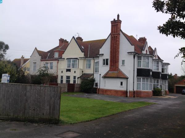
 Burnham High Lighthouse, Burnham-on-Sea, 10/02/2015 |
Class31 |
Wednesday 11th of February 2015 10:16:25 AM |
 Burnham High Lighthouse, Burnham-on-Sea, 10/02/2015 |
Class31 |
Wednesday 11th of February 2015 10:13:36 AM |
 Burnham High Lighthouse, Burnham-on-Sea, 10/02/2015 |
Class31 |
Wednesday 11th of February 2015 10:12:02 AM |
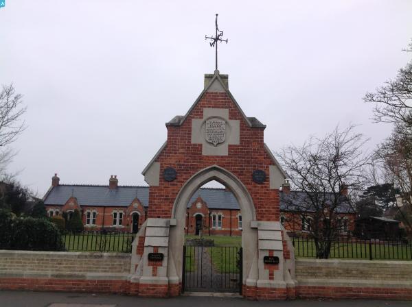
 Ellen's Cottages (Almshouses), Burnham-on-Sea, 10/02/2015 |
Class31 |
Wednesday 11th of February 2015 10:11:28 AM |
 Stoddens Road, Burnham-on-Sea, 10/02/2015 |
Class31 |
Wednesday 11th of February 2015 10:10:02 AM |