
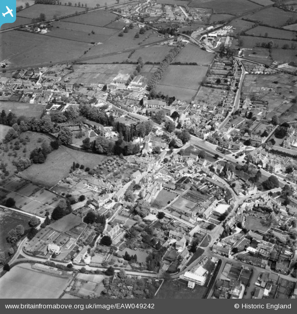
EAW049242 ENGLAND (1953). The village, Bourton-on-the-Water, 1953
© Copyright OpenStreetMap contributors and licensed by the OpenStreetMap Foundation. 2024. Cartography is licensed as CC BY-SA.
Nearby Images (10)
EAW049242

EAW049244

EAW020810

EAW049243

EAW020811

EAW020812

EAW020809

EAW020808

EAW020807

EAW020813

Details
| Title | [EAW049242] The village, Bourton-on-the-Water, 1953 |
| Reference | EAW049242 |
| Date | 12-May-1953 |
| Link | |
| Place name | BOURTON-ON-THE-WATER |
| Parish | BOURTON-ON-THE-WATER |
| District | |
| Country | ENGLAND |
| Easting / Northing | 416679, 220703 |
| Longitude / Latitude | -1.7576462336028, 51.884198868427 |
| National Grid Reference | SP167207 |


