
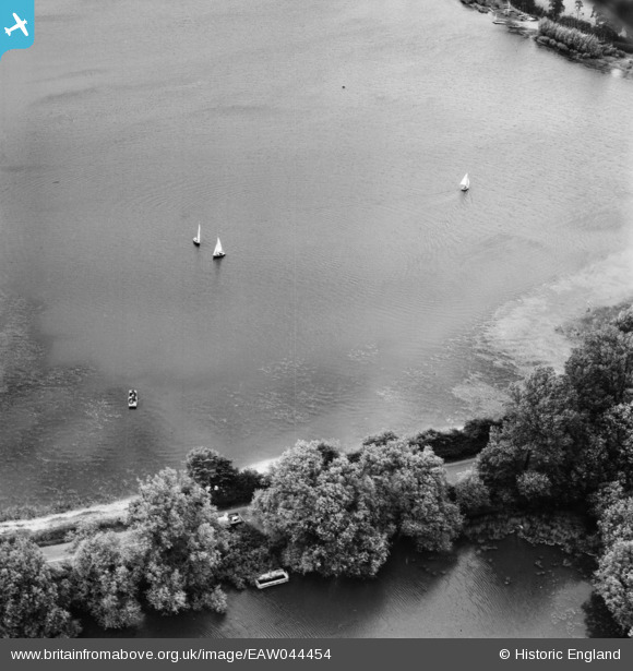
EAW044454 ENGLAND (1952). Aldenham Reservoir, Elstree, 1952
© Copyright OpenStreetMap contributors and licensed by the OpenStreetMap Foundation. 2024. Cartography is licensed as CC BY-SA.
Nearby Images (10)
EAW044454

EAW043877

EAW043871

EAW044162

EAW044155

EAW044154A

EAW044154

EAW043872

EAW044158

EAW043874

Details
| Title | [EAW044454] Aldenham Reservoir, Elstree, 1952 |
| Reference | EAW044454 |
| Date | 27-June-1952 |
| Link | |
| Place name | ELSTREE |
| Parish | ELSTREE AND BOREHAMWOOD |
| District | |
| Country | ENGLAND |
| Easting / Northing | 516986, 195212 |
| Longitude / Latitude | -0.30911524016733, 51.643057193801 |
| National Grid Reference | TQ170952 |
Pins
 totoro |
Wednesday 7th of January 2015 01:31:32 PM | |
totoro |
Wednesday 7th of January 2015 01:29:54 PM |


